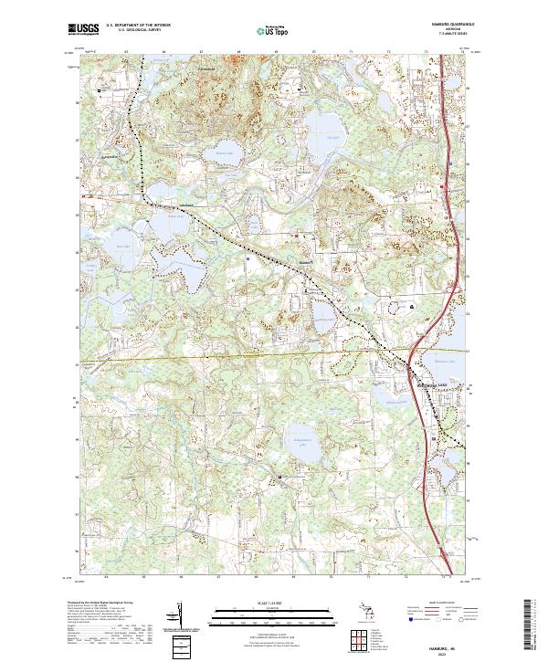
2023 Map of Hamburg
USGS Topo · Published 2023About this map
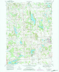
The Huron River and its associated lake systems dominate this landscape at the border of Livingston Co and Washtenaw Co. Settlements like Hamburg and Lakeland are closely tied to the water, while historic burial grounds such as Hamburg Cem and Thomas and Lowe Cem serve as landmarks for genealogists. The modern presence of recreational corridors is evident in the Lakelands Trail State Park, which follows a former rail alignment through the region.
Find a feature on this map
44 named features on this map. Tap any name to fly to it.
Don’t see what you’re looking for? This feature index may not catch every label — zoom into the map to look around manually.
Map Details
Editions of this 2023 Hamburg Map
This is the sole edition of this map. No revisions or reprints were ever made.
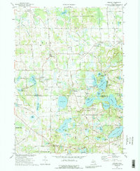
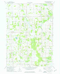
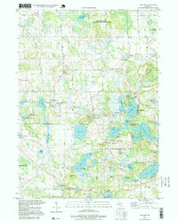
Historical Maps of Webster Township Through Time
14 maps found
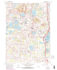
1965 Hamburg
Livingston County, MI
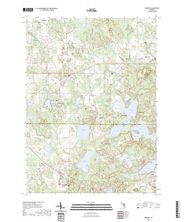
1968 Kent Lake
Livingston County, MI
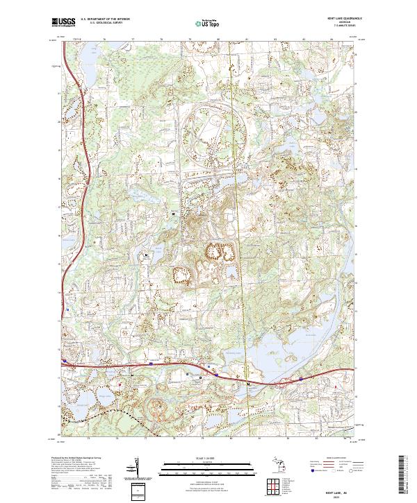
1968 Oak Grove
Livingston County, MI
1968 West Highland
Livingston County, MI
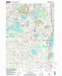
1973 Gregory
Livingston County, MI
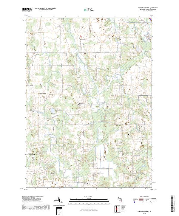
1973 Parkers Corners
Livingston County, MI
1996 Gregory
Livingston County, MI
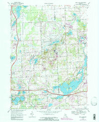
1996 Hamburg
Livingston County, MI
2023 Gregory
Livingston County, MI
2023 Hamburg
Livingston County, MI
2023 Kent Lake
Livingston County, MI
2023 Oak Grove
Livingston County, MI
2023 Parkers Corners
Livingston County, MI
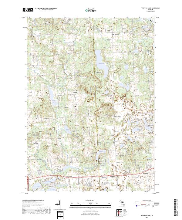
2023 West Highland
Livingston County, MI
Featured Locations
- Northfield Township, MI
- Webster Township, MI
- Green Oak Charter Township, MI
- Hamburg Township, MI
- Hamburg, Hamburg Township