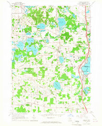
1965 Map of Hamburg
USGS Topo · Published 1967About this map
The glacial chain of lakes defining the Huron River watershed dominates this mid-1960s landscape along the border of Livingston and Washtenaw Counties. Small lakeside communities such as Lakeland and Hamburg are shown alongside the corridors of the Ann Arbor RR and the Grand Trunk Road. The map reveals a mixture of conservation and institutional development, featuring the Brighton State Recreation Area and the Island Lake State Recreation Area as well as the Boys Training Camp and St Benedicts Novitiate.
Find a feature on this map
64 named features on this map. Tap any name to fly to it.
Don’t see what you’re looking for? This feature index may not catch every label — zoom into the map to look around manually.
Map Details
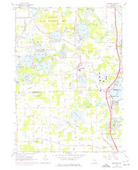
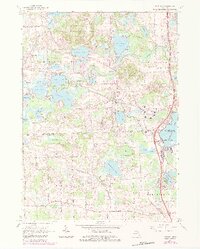
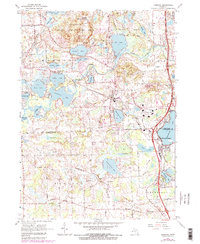
Editions of this 1965 Hamburg Map
4 editions found
Other maps of this area

1902 · South Lyon
USGS Topo · 1:62,500

1902 · Dexter
USGS Topo · 1:62,500

1904 · Ann Arbor
USGS Topo · 1:125,000

1906 · Dexter
USGS Topo · 1:62,500

1906 · South Lyon
USGS Topo · 1:62,500

1907 · Howell
USGS Topo · 1:62,500

1908 · Ann Arbor
USGS Topo · 1:125,000

1909 · Howell
USGS Topo · 1:62,500

1909 · Milford
USGS Topo · 1:62,500

1954 · Detroit
USGS Topo · 1:250,000
Featured Places
- Hamburg Township, MI
- Green Oak Charter Township, MI
- Northfield Township, MI
- Webster Township, MI
- Hamburg, Hamburg Township