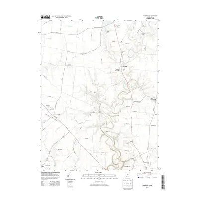
2013 Map of Hamersville
USGS Topo · Published 2013About this map
White Oak Creek carves a winding path through this portion of Brown County, defining the valley landscape between Hamersville and the county seat at Georgetown. The terrain is characterized by numerous small runs and creeks, including Sterling Run, Miranda Run, and Shot Pouch Run, which feed into the primary waterway. Local history is deeply rooted in the scattered rural cemeteries that dot the landscape, such as Confidence Cem and Browns Chapel Cem, marking the early family plots and churchyards of the region.
Find a feature on this map
88 named features on this map. Tap any name to fly to it.
Don’t see what you’re looking for? This feature index may not catch every label — zoom into the map to look around manually.
Map Details
Editions of this 2013 Hamersville Map
This is the sole edition of this map. No revisions or reprints were ever made.
Other maps of this area

1914 · Batavia
USGS Topo · 1:48,000

1916 · Batavia
USGS Topo · 1:62,500

1917 · Sardinia
USGS Topo · 1:62,500

1928 · Higginsport
USGS Topo · 1:48,000

1931 · Felicity
USGS Topo · 1:62,500

1931 · Higginsport
USGS Topo · 1:62,500

1944 · Sardinia
USGS Topo · 1:62,500

1947 · Columbus
USGS Topo · 1:250,000

1952 · Higginsport
USGS Topo · 1:24,000

1953 · Bethel
USGS Topo · 1:24,000