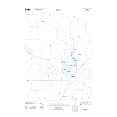
2013 Map of Hamilton
USGS Topo · Published 2013About this map
Hamilton Lake dominates the central landscape of this Steuben County survey, serving as the focal point for numerous lakeside communities including Clarks Landing, Cold Springs, Russells Point, and Circle Park. The town of Hamilton is situated at the southern tip of the lake, where local drainage systems like Hiram Sweet Ditch and Baker Ditch converge. This 2013 record illustrates a dense concentration of shoreline development, with many small residential clusters such as Oakwood and Fountain Park connected by a network of specialized lanes like Lane 150 Hamilton Lk. Further west, Ball Lake and Perfect Lake provide secondary aquatic landmarks, while Otsego Center marks the northern rural reaches. The presence of both Lautzenhiser Airpark and Flying Crown Airport indicates the regional significance of small-craft aviation in this lake-rich corridor of northeast Indiana.
Find a feature on this map
99 named features on this map. Tap any name to fly to it.
Don’t see what you’re looking for? This feature index may not catch every label — zoom into the map to look around manually.
Map Details
Editions of this 2013 Hamilton Map
This is the sole edition of this map. No revisions or reprints were ever made.
Other maps of this area

1939 · Hamilton
USGS Topo · 1:24,000

1939 · Angola East
USGS Topo · 1:24,000

1939 · Clear Lake
USGS Topo · 1:24,000

1940 · Metz
USGS Topo · 1:24,000

1940 · Clear Lake
USGS Topo · 1:24,000

1941 · Angola West
USGS Topo · 1:24,000

1942 · Ashley
USGS Topo · 1:24,000

1942 · Angola West
USGS Topo · 1:24,000

1947 · Angola East
USGS Topo · 1:24,000

1948 · Hamilton
USGS Topo · 1:24,000