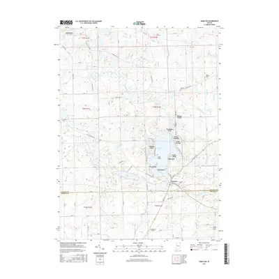
2016 Map of Hamilton
USGS Topo · Published 2016About this map
Hamilton Lake serves as the central hub of this northeastern Indiana landscape, surrounded by a dense cluster of lakeside settlements including Oakwood, Circle Park, and Cold Springs. The map reveals a complex aquatic geography defined by Muskrat Bay and Shag Island, while the southern shore is dominated by the town of Hamilton. Further inland, the terrain is shaped by a systematic drainage network including Hiram Sweet Ditch and Baker Ditch, which supports the agricultural tracts between the lake and smaller water bodies like Ball Lake. Genealogists will find a high density of small burial grounds scattered across the townships, such as Teegardin Cem and Carter Cem. Aviation history is represented by small local facilities like Lautzenhiser Airpark near the southern boundary, reflecting the region's rural character in the early 21st century.
Find a feature on this map
78 named features on this map. Tap any name to fly to it.
Don’t see what you’re looking for? This feature index may not catch every label — zoom into the map to look around manually.
Map Details
Editions of this 2016 Hamilton Map
This is the sole edition of this map. No revisions or reprints were ever made.
Other maps of this area

1939 · Hamilton
USGS Topo · 1:24,000

1939 · Angola East
USGS Topo · 1:24,000

1939 · Clear Lake
USGS Topo · 1:24,000

1940 · Metz
USGS Topo · 1:24,000

1940 · Clear Lake
USGS Topo · 1:24,000

1941 · Angola West
USGS Topo · 1:24,000

1942 · Ashley
USGS Topo · 1:24,000

1942 · Angola West
USGS Topo · 1:24,000

1947 · Angola East
USGS Topo · 1:24,000

1948 · Hamilton
USGS Topo · 1:24,000