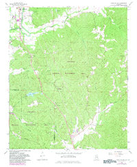
1967 Map of Hamilton SW
USGS Topo · Published 1983About this map
The Buttahatchee River winds through the northwest corner of this Marion County survey, providing a focal point for the corporate boundaries of Hamilton. Just south of town, the Northwest Alabama State Trade Sch and Marion County Airport mark a period of mid-century regional infrastructure development. The landscape is dominated by the LaMarion Wildlife Management Area LWMA, which spans across the Marion Co Lamar County line.
Find a feature on this map
42 named features on this map. Tap any name to fly to it.
Don’t see what you’re looking for? This feature index may not catch every label — zoom into the map to look around manually.
Map Details
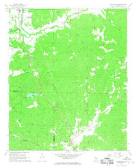
Editions of this 1967 Hamilton SW Map
2 editions found
Other maps of this area

1936 · South Of Hackleburg
USGS Topo · 1:24,000

1953 · Birmingham
USGS Topo · 1:250,000

1953 · West Point
USGS Topo · 1:250,000

1956 · Birmingham
USGS Topo · 1:250,000

1956 · Gadsden
USGS Topo · 1:250,000

1956 · Tupelo
USGS Topo · 1:250,000

1957 · Birmingham
USGS Topo · 1:250,000

1958 · Tupelo
USGS Topo · 1:250,000

1958 · West Point
USGS Topo · 1:250,000

1958 · Gadsden
USGS Topo · 1:250,000