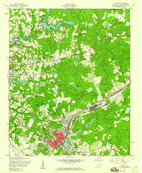
1957 Map of Hamlet
USGS Topo · Published 1960About this map
The Seaboard Air Line railroad hub at Hamlet serves as the industrial anchor of this 1950s Richmond County landscape. The rail network’s expansive yard and facilities are clearly defined, surrounded by residential districts like North Hamlet and East Hamlet. To the northwest, the edge of Rockingham is visible, showing a transition from the urban core to rural communities such as Roberdel and Knob Hill.
Find a feature on this map
79 named features on this map. Tap any name to fly to it.
Don’t see what you’re looking for? This feature index may not catch every label — zoom into the map to look around manually.
Map Details
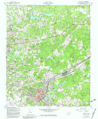
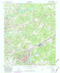
Editions of this 1957 Hamlet Map
3 editions found
Other maps of this area

1942 · Troy
USGS Topo · 1:125,000

1942 · Rockingham
USGS Topo · 1:125,000

1949 · Gibson
USGS Topo · 1:24,000

1949 · Millstone Lake
USGS Topo · 1:24,000

1949 · Ghio
USGS Topo · 1:24,000

1949 · Hoffman
USGS Topo · 1:24,000

1949 · Marston
USGS Topo · 1:24,000

1949 · Hamlet
USGS Topo · 1:24,000

1949 · Hamlet
USGS Topo · 1:62,500

1949 · Jackson Springs
USGS Topo · 1:62,500