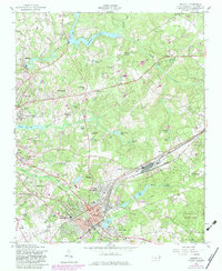
1957 Map of Hamlet
USGS Topo · Published 1983About this map
Hamlet and Rockingham serve as the primary hubs in this mid-century topographic survey, characterized by a landscape heavily shaped by textile and mill-pond water management. To the north, Hitchcock Creek feeds several significant impoundments including Ledbetter Lake and Gibsons Millpond, indicating a local economy once deeply tied to water-powered industry. The transition from industrial settlements like Ledbetter and Roberdel to the newer residential developments of Highland Pines and North Hamlet reflects the post-war growth of the region.
Find a feature on this map
82 named features on this map. Tap any name to fly to it.
Don’t see what you’re looking for? This feature index may not catch every label — zoom into the map to look around manually.
Map Details
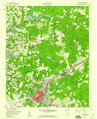
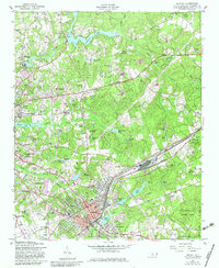
Editions of this 1957 Hamlet Map
3 editions found
Other maps of this area

1942 · Troy
USGS Topo · 1:125,000

1942 · Rockingham
USGS Topo · 1:125,000

1949 · Gibson
USGS Topo · 1:24,000

1949 · Millstone Lake
USGS Topo · 1:24,000

1949 · Ghio
USGS Topo · 1:24,000

1949 · Hoffman
USGS Topo · 1:24,000

1949 · Marston
USGS Topo · 1:24,000

1949 · Hamlet
USGS Topo · 1:24,000

1949 · Hamlet
USGS Topo · 1:62,500

1949 · Jackson Springs
USGS Topo · 1:62,500