1957 Map of Hamlet
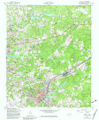
USGS Topo · Published 1983About this map
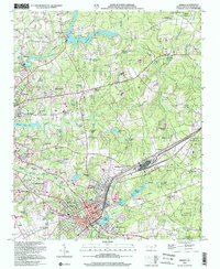
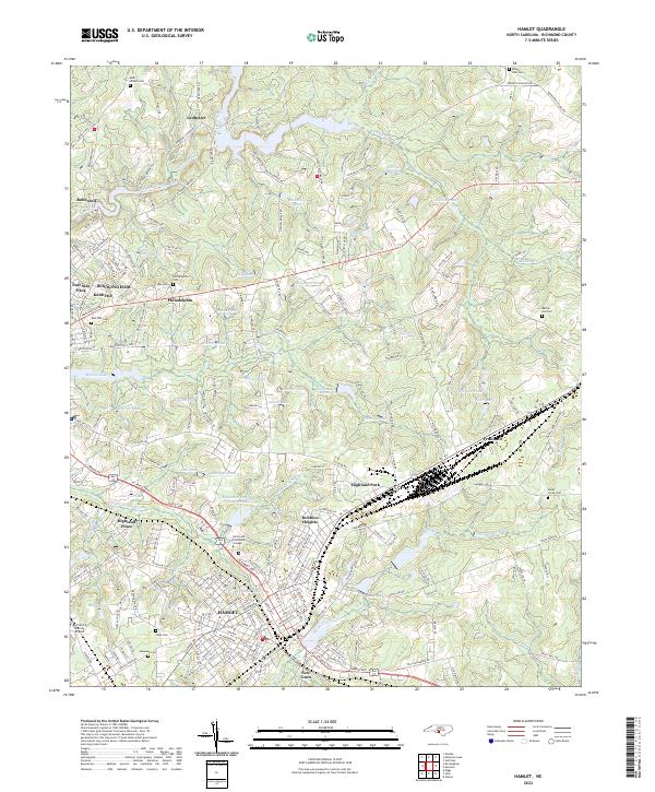
The Seaboard Coast Line corridor anchors the economic life of this region, meeting at the major rail hub of Hamlet. This transportation spine is surrounded by numerous industrial and residential developments including North Hamlet, East Hamlet, and New Town. To the northwest, the textile and milling history of the area is evident near Ledbetter Lake and the settlement of Roberdel. The landscape is characterized by a dense network of private ponds and millponds, such as Gibsons Millpond and Morgans Pond, which feed into Hitchcock Creek and Falling Creek. Significant community hubs are visible in the many rural congregations, including Beaverdam Ch and Hopewell Ch, alongside the expansive Sandhills Game Land to the east. Modern additions from the early 1980s, such as a Drive-in Theater and the Country Club, reflect the mid-century growth of Rockingham.
Find a feature on this map
81 named features on this map. Tap any name to fly to it.
Don’t see what you’re looking for? This feature index may not catch every label — zoom into the map to look around manually.
Map Details
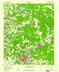
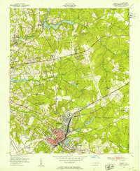
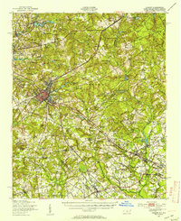
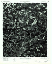
Editions of this 1957 Hamlet Map
3 editions found
Historical Maps of Rockingham Through Time
10 maps found
1949 Hamlet
Richmond County, NC
1949 Hamlet
Richmond County, NC
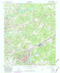
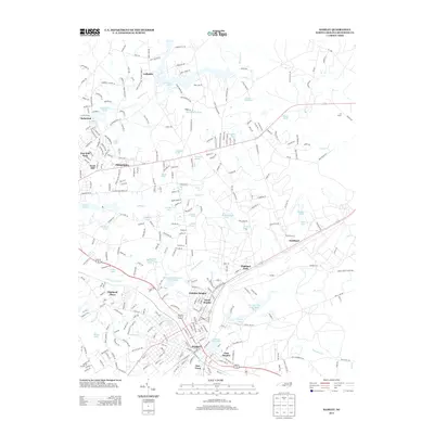
1957 Hamlet
Richmond County, NC
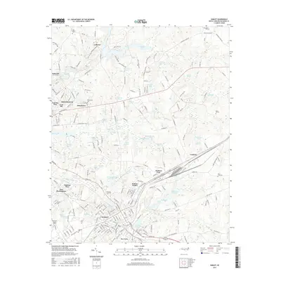
1976 Hamlet
Richmond County, NC
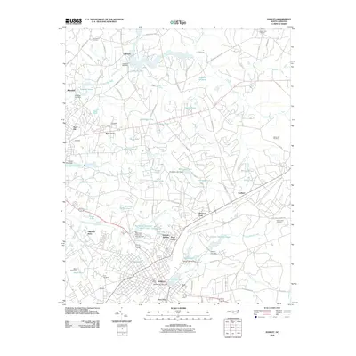
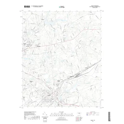
2002 Hamlet
Richmond County, NC
2010 Hamlet
Richmond County, NC
2013 Hamlet
Richmond County, NC
2016 Hamlet
Richmond County, NC
2019 Hamlet
Richmond County, NC
2022 Hamlet
Richmond County, NC