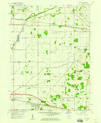
1958 Map of Hamlet
USGS Topo · Published 1960About this map
The Pennsylvania Railroad and Baltimore and Ohio Railroad intersect at Hamlet, forming a critical junction for this northern Indiana agricultural corridor. The landscape is defined by an extensive network of drainage infrastructure, with the Kankakee River and named waterways like Johanni Ditch, Robins Ditch, and Place Ditch grid-lining the flat terrain. This 1958 survey captures the region as a highly engineered prairie, where small rail stops like Grovertown and Kyle supported local farms.
Find a feature on this map
39 named features on this map. Tap any name to fly to it.
Don’t see what you’re looking for? This feature index may not catch every label — zoom into the map to look around manually.
Map Details
Editions of this 1958 Hamlet Map
This is the sole edition of this map. No revisions or reprints were ever made.
Other maps of this area

1953 · Chicago
USGS Topo · 1:250,000

1957 · Chicago
USGS Topo · 1:250,000
1957 · Knox East
USGS Topo · 1:24,000
1957 · Knox West
USGS Topo · 1:24,000
1958 · Donaldson
USGS Topo · 1:24,000
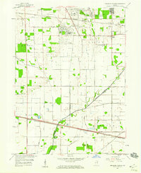
1958 · Kingsford Heights
USGS Topo · 1:24,000
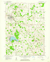
1958 · Walkerton
USGS Topo · 1:24,000
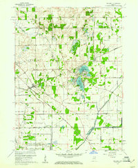
1958 · Stillwell
USGS Topo · 1:24,000
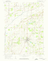
1958 · North Liberty
USGS Topo · 1:24,000
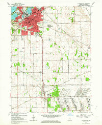
1958 · La Porte East
USGS Topo · 1:24,000