Loading...
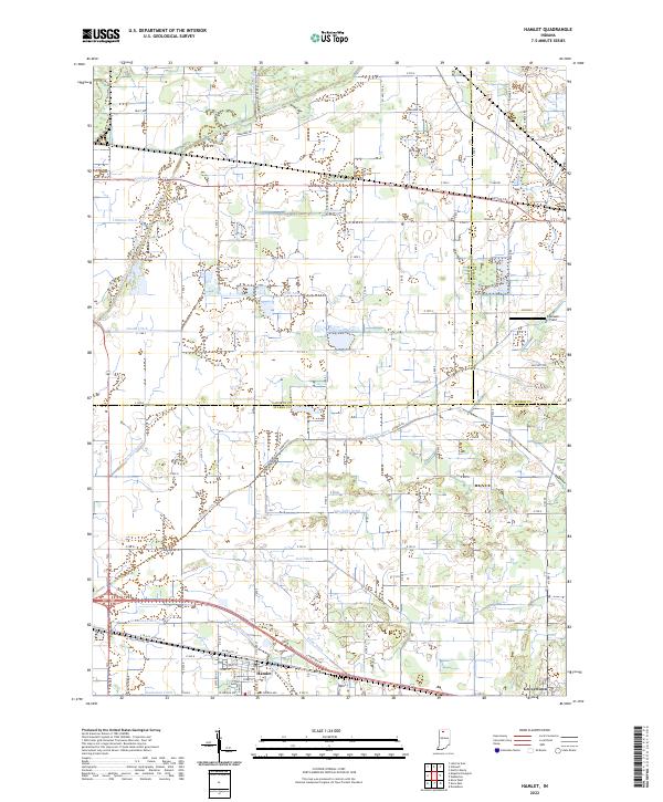
Loading map...1969 Map of Hamlet
USGS Topo · Published 1985About this map
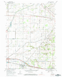
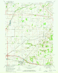
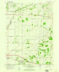
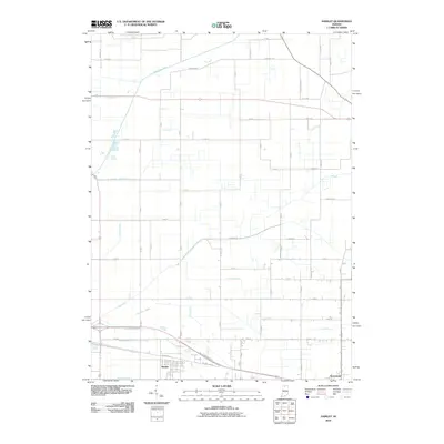
The Kankakee River and a dense network of drainage ditches define this Indiana landscape at the close of the 1960s, reflecting generations of land reclamation in Washington and Johnson townships. In the southern portion of the sheet, the town of Hamlet serves as a junction for the Penn Central and Baltimore and Ohio railroads, featuring the local Fairgrounds and the Township Sch. Further east, the settlement of Grovertown sits along the historic Yellowstone Trail near the crossing of the Norfolk and Western line.
Find a feature on this map
42 named features on this map. Tap any name to fly to it.
Don’t see what you’re looking for? This feature index may not catch every label — zoom into the map to look around manually.
Map Details
Date Portrayed1969
Date Published1985
PublisherU.S. Geological Survey
Map TypeTopographic
Scale1:24,000
Physical Dimensions22.1 x 27 inches
Editions of this 1969 Hamlet Map
2 editions found
Historical Maps of Hamlet Through Time
7 maps found
Featured Locations
Source Details
SourceU.S. Geological Survey
CopyrightPublic Domain