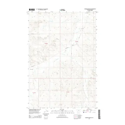
2014 Map of Hammond Draw SW
USGS Topo · Published 2014About this map
Rosebud Cr and its tributaries define the drainage patterns of this eastern Montana landscape, where the high plains meet deep incisions like Sand Coulee and Hay Coulee. The map details a quiet ranching and transit corridor, anchored by long-standing local landmarks such as Bean Cem and Brown Cem. These small rural cemeteries serve as vital genealogical markers in a region where settlements are sparse. Transportation through the territory relies on routes following the natural topography, including Rosebud Creek Rd and Cowcreek Rd, which link the various stream valleys. The hydrology of the area is further characterized by Greenleaf Cr, Miller Cr, and the S Fork Cow Cr, illustrating the complex network of seasonal and perennial watercourses that have shaped land use and property boundaries across Township 1 North, Range 43 East and surrounding sections.
Find a feature on this map
18 named features on this map. Tap any name to fly to it.
Don’t see what you’re looking for? This feature index may not catch every label — zoom into the map to look around manually.
Map Details
Editions of this 2014 Hammond Draw SW Map
This is the sole edition of this map. No revisions or reprints were ever made.
Other maps of this area

1954 · Hardin
USGS Topo · 1:250,000

1957 · Hardin
USGS Topo · 1:250,000

1958 · Hardin
USGS Topo · 1:250,000

1958 · Garfield Peak
USGS Topo · 1:24,000

1958 · Badger Peak
USGS Topo · 1:24,000

1966 · Ashland NE
USGS Topo · 1:24,000

1971 · Colstrip SE
USGS Topo · 1:24,000

1971 · Hammond Draw NW
USGS Topo · 1:24,000

1971 · Colstrip East
USGS Topo · 1:24,000

1971 · Hammond Draw
USGS Topo · 1:24,000