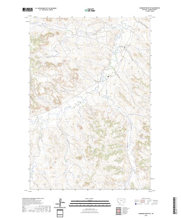
2024 Map of Hammond Draw SW
USGS Topo · Published 2024About this map
Rosebud Creek and its complex network of seasonal tributaries define this portion of Rosebud County, where the high plains landscape is carved by deep coulees and winding waterways. The drainage patterns of Cow Creek and Greenleaf Creek illustrate the characteristic erosion of the Montana prairie, revealing a topography shaped by water in an otherwise semi-arid environment. Human presence is sparse and deeply tied to the land's contours, evidenced by isolated ranch roads like Cowcreek Rd and Wells Rd. For genealogists and local historians, the map preserves the exact locations of Bean Cem and Brown Cem, small rural burial sites that serve as primary markers of the early families who settled along the banks of Bean Creek. This modern survey provides a precise look at the township and range divisions that have organized this ranching country since the initial homesteading era.
Find a feature on this map
17 named features on this map. Tap any name to fly to it.
Don’t see what you’re looking for? This feature index may not catch every label — zoom into the map to look around manually.
Map Details
Editions of this 2024 Hammond Draw SW Map
This is the sole edition of this map. No revisions or reprints were ever made.
Other maps of this area

1954 · Hardin
USGS Topo · 1:250,000

1957 · Hardin
USGS Topo · 1:250,000

1958 · Hardin
USGS Topo · 1:250,000

1958 · Garfield Peak
USGS Topo · 1:24,000

1958 · Badger Peak
USGS Topo · 1:24,000

1966 · Ashland NE
USGS Topo · 1:24,000

1971 · Colstrip SE
USGS Topo · 1:24,000

1971 · Hammond Draw NW
USGS Topo · 1:24,000

1971 · Colstrip East
USGS Topo · 1:24,000

1971 · Hammond Draw
USGS Topo · 1:24,000