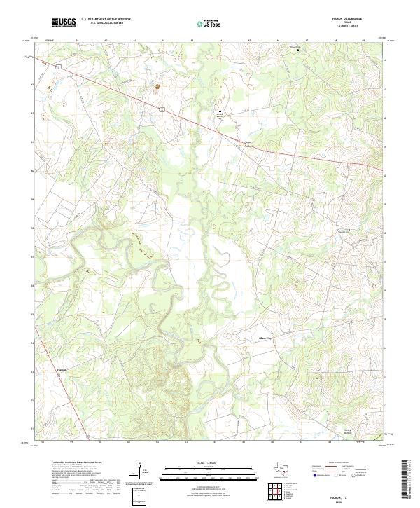
2022 Map of Hamon
USGS Topo · Published 2022About this map
The Guadalupe River meanders across this Central Texas landscape, creating a complex network of wetlands and seasonal drainages. The river's influence is evident in the surrounding terrain, where features like Elm Slough, Turkey Bottom, and Boggy Cr define the lowland topography south of the primary channel. The rural character of this Gonzales County area is anchored by small settlements like Hamon and Glaze City, connected by a dense grid of county roads that navigate the creeks and sloughs.
Find a feature on this map
41 named features on this map. Tap any name to fly to it.
Don’t see what you’re looking for? This feature index may not catch every label — zoom into the map to look around manually.
Map Details
Editions of this 2022 Hamon Map
This is the sole edition of this map. No revisions or reprints were ever made.
Other maps of this area

1901 · Flatonia
USGS Topo · 1:125,000

1953 · Seguin
USGS Topo · 1:250,000

1958 · Seguin
USGS Topo · 1:250,000

1959 · Hochheim
USGS Topo · 1:24,000

1959 · Gonzales South
USGS Topo · 1:24,000

1959 · Hamon
USGS Topo · 1:24,000

1960 · Cheapside
USGS Topo · 1:24,000

1962 · Dilworth
USGS Topo · 1:24,000
1962 · Gonzales North
USGS Topo · 1:24,000

1963 · Yoakum
USGS Topo · 1:24,000