
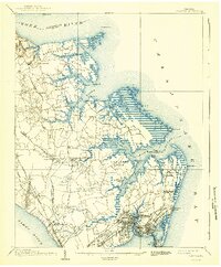
1907 Map of Hampton
USGS Topo · Published 1916About this map
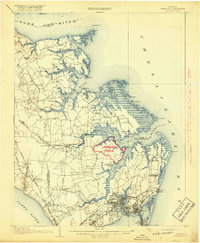
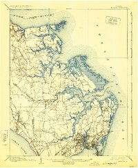
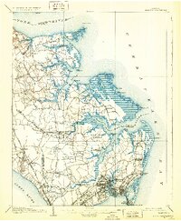
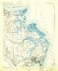
Fort Monroe and the surrounding military reservation anchor the southern tip of the Virginia Peninsula in this early twentieth-century survey. The landscape is defined by the complex tidal reaches of the Chesapeake Bay, from the wide mouth of the York River in the north to the James River in the south. Between these great waterways, a network of smaller channels like the Back River and Poquoson River create a jagged coastline of necks and points, including Goodwin Neck and Fish Neck.
Find a feature on this map
88 named features on this map. Tap any name to fly to it.
Don’t see what you’re looking for? This feature index may not catch every label — zoom into the map to look around manually.
Map Details
Editions of this 1907 Hampton Map
6 editions found
Other maps of this area

1906 · Williamsburg
USGS Topo · 1:62,500

1907 · Norfolk
USGS Topo · 1:125,000

1907 · Yorktown
USGS Topo · 1:62,500

1916 · Mathews
USGS Topo · 1:62,500

1917 · Mathews
USGS Topo · 1:62,500

1918 · Cape Henry
USGS Topo · 1:62,500

1919 · Smithfield
USGS Topo · 1:62,500

1919 · Cape Henry
USGS Topo · 1:62,500

1921 · Newport News
USGS Topo · 1:62,500

1943 · Yorktown
USGS Topo · 1:62,500