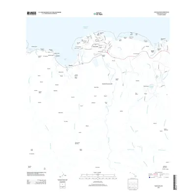
2013 Map of Hanalei
USGS Topo · Published 2013About this map
Hanalei Bay dominates the northern coastline of this Kauai quadrangle, serving as a focal point for the transition from the Pacific waters to the interior valleys. The community of Hanalei sits along the shore near the Hanalei Landing, while the modern development of Princeville occupies the bluffs to the east. This area preserves a legacy of land use ranging from the traditional Hanalei Homesteads to the large-scale operations of the Princeville Ranch.
Find a feature on this map
132 named features on this map. Tap any name to fly to it.
Don’t see what you’re looking for? This feature index may not catch every label — zoom into the map to look around manually.
Map Details
Editions of this 2013 Hanalei Map
This is the sole edition of this map. No revisions or reprints were ever made.
Other maps of this area

1954 · Kauai
USGS Topo · 1:250,000

1963 · Anahola
USGS Topo · 1:24,000

1963 · Kapaa
USGS Topo · 1:24,000

1963 · Hanalei
USGS Topo · 1:24,000

1965 · Waimea Canyon
USGS Topo · 1:24,000

1965 · Haena
USGS Topo · 1:24,000

1965 · Waialeale
USGS Topo · 1:24,000

1967 · Kauai
USGS Topo · 1:250,000

1970 · Kauai
USGS Topo · 1:250,000

1978 · Kapaa
USGS Topo · 1:24,000