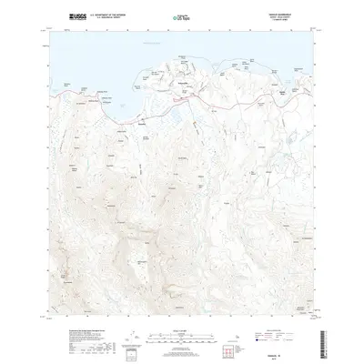
2017 Map of Hanalei
USGS Topo · Published 2017About this map
Hanalei and Princeville anchor this 2017 survey of the northern coast of Kauai, where the massive mountain ridges of the interior meet the Pacific Ocean. The landscape is dominated by the deep incisions of the Hanalei River and Waioli Valley, with the towering peak of Namolokama Mtn rising above the watershed. To the east, the Kalihiwai River flows past Haleone toward Kalihi Wai, supported by infrastructure like the Kalihiwai Reservoir.
Find a feature on this map
112 named features on this map. Tap any name to fly to it.
Don’t see what you’re looking for? This feature index may not catch every label — zoom into the map to look around manually.
Map Details
Editions of this 2017 Hanalei Map
This is the sole edition of this map. No revisions or reprints were ever made.
Other maps of this area

1954 · Kauai
USGS Topo · 1:250,000

1963 · Anahola
USGS Topo · 1:24,000

1963 · Kapaa
USGS Topo · 1:24,000

1963 · Hanalei
USGS Topo · 1:24,000

1965 · Waimea Canyon
USGS Topo · 1:24,000

1965 · Haena
USGS Topo · 1:24,000

1965 · Waialeale
USGS Topo · 1:24,000

1967 · Kauai
USGS Topo · 1:250,000

1970 · Kauai
USGS Topo · 1:250,000

1978 · Kapaa
USGS Topo · 1:24,000