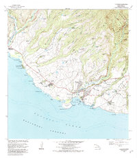
1983 Map of Hanapepe
USGS Topo · Published 1984About this map
Russian Fort Elizabeth State Hist Park sits at the mouth of the Waimea River, marking a unique era of nineteenth-century interaction on the southwestern coast of Kauai. The landscape is a complex network of agricultural infrastructure, characterized by numerous reservoirs like Nonopahu Reservoir and Waikai Reservoir that feed the Hanapepe River Valley. Settlement patterns follow the coastal plains and river mouths, where plantation history is evident at the Sugar Mill in Numila and the coastal landing at Pakala Village.
Find a feature on this map
68 named features on this map. Tap any name to fly to it.
Don’t see what you’re looking for? This feature index may not catch every label — zoom into the map to look around manually.
Map Details
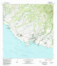
Editions of this 1983 Hanapepe Map
2 editions found
Other maps of this area

1954 · Kauai
USGS Topo · 1:250,000

1963 · Kekaha
USGS Topo · 1:24,000

1963 · Hanapepe
USGS Topo · 1:24,000

1963 · Koloa
USGS Topo · 1:24,000

1965 · Waimea Canyon
USGS Topo · 1:24,000

1965 · Waialeale
USGS Topo · 1:24,000

1967 · Kauai
USGS Topo · 1:250,000

1970 · Kauai
USGS Topo · 1:250,000
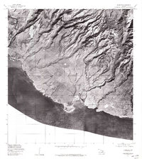
1977 · Hanapepe
USGS Topo · 1:24,000
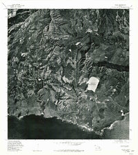
1978 · Koloa
USGS Topo · 1:24,000