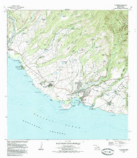
1983 Map of Hanapepe
USGS Topo · Published 1985About this map
The agricultural and maritime landscapes of Kauai's southern coast are captured here in the early 1980s, anchored by the towns of Hanapepe and Waimea. This region is defined by its sugar industry history, evidenced by the Sugar Mill near Numila and the extensive system of irrigation ditches and reservoirs, such as Waikaia Reservoir and Poopueo Reservoir, that feed the coastal plains. Along the Pacific Ocean shoreline, the map identifies significant cultural and industrial landmarks, including the Russian Fort Elizabeth State Hist Park at the mouth of the Waimea River and the industrial hub at Port Allen. Inland, the terrain rises sharply into the Na Pali-Kona Forest Reserve, where deep valleys like Waipao Valley and Hikilei Valley cut through the Makaweli lands. The settlement pattern shows a mix of established towns and plantation-era clusters like Pakala Village and Kaawanui Village, alongside modern infrastructure like the Port Allen Airport.
Find a feature on this map
104 named features on this map. Tap any name to fly to it.
Don’t see what you’re looking for? This feature index may not catch every label — zoom into the map to look around manually.
Map Details
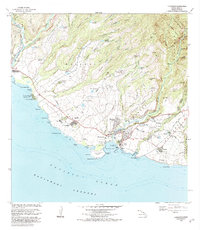
Editions of this 1983 Hanapepe Map
2 editions found
Other maps of this area

1954 · Kauai
USGS Topo · 1:250,000

1963 · Kekaha
USGS Topo · 1:24,000

1963 · Hanapepe
USGS Topo · 1:24,000

1963 · Koloa
USGS Topo · 1:24,000

1965 · Waimea Canyon
USGS Topo · 1:24,000

1965 · Waialeale
USGS Topo · 1:24,000

1967 · Kauai
USGS Topo · 1:250,000

1970 · Kauai
USGS Topo · 1:250,000
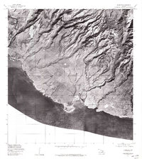
1977 · Hanapepe
USGS Topo · 1:24,000
1978 · Koloa
USGS Topo · 1:24,000