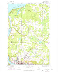
1946 Map of Hancock
USGS Topo · Published 1976About this map
Hancock and its steep northern neighbors are defined by the legacies of the Copper Country's industrial heyday. This 1946 survey, with 1975 revisions, details the intricate settlement patterns along the Portage Lake shoreline and the high ridges above. The concentration of mining history is evident at the Franklin Mine and the nearby communities of Pewabic, Lower Pewabic, and Paavola. Along the water, the Ship Canal and Portage Lake serve as the maritime gateway, while the Soo Line railroad connects these hilltop locations to the regional economy.
Find a feature on this map
36 named features on this map. Tap any name to fly to it.
Don’t see what you’re looking for? This feature index may not catch every label — zoom into the map to look around manually.
Map Details
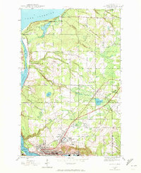
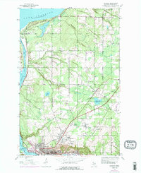
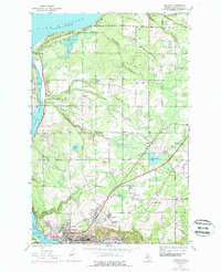
Editions of this 1946 Hancock Map
5 editions found
Other maps of this area

1915 · Houghton
USGS Topo · 1:62,500

1941 · Ahmeek
USGS Topo · 1:31,680

1946 · Hancock
USGS Topo · 1:24,000

1946 · Chassell
USGS Topo · 1:24,000

1946 · South Range
USGS Topo · 1:24,000

1946 · Muggun Creek
USGS Topo · 1:24,000

1946 · Ahmeek
USGS Topo · 1:24,000

1946 · Laurium
USGS Topo · 1:24,000

1947 · Ahmeek
USGS Topo · 1:24,000

1948 · South Range
USGS Topo · 1:24,000