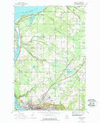
1946 Map of Hancock
USGS Topo · Published 1989About this map
The copper-rich landscape of Michigan's Keweenaw Peninsula is defined here by a dense concentration of industrial and civic life. The city of Hancock anchors the southern shore, positioned where the Portage Lake Ship Canal cuts toward Lake Superior. Evidence of the region’s mining heritage is prominent through the Franklin Mine and Pewabic sites, while the Soo Line railroad provides the vital transportation infrastructure for this mineral district. Moving north from the urban center, the terrain transitions into a mix of small settlements like St Johns and Paavola, interspersed with rural landmarks such as the Salo Sch and the Waasa Cem. The shoreline is marked by the Coast Guard Sta and the expansive grounds of Mclain State Park, protecting the entrance to the waterway that separates the peninsula.
Find a feature on this map
34 named features on this map. Tap any name to fly to it.
Don’t see what you’re looking for? This feature index may not catch every label — zoom into the map to look around manually.
Map Details
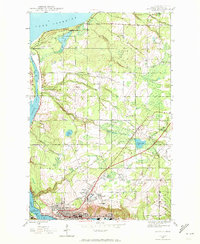
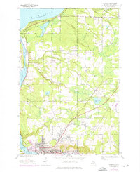
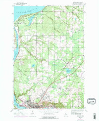
Editions of this 1946 Hancock Map
5 editions found
Other maps of this area

1915 · Houghton
USGS Topo · 1:62,500

1941 · Ahmeek
USGS Topo · 1:31,680

1946 · Hancock
USGS Topo · 1:24,000

1946 · Chassell
USGS Topo · 1:24,000

1946 · South Range
USGS Topo · 1:24,000

1946 · Muggun Creek
USGS Topo · 1:24,000

1946 · Ahmeek
USGS Topo · 1:24,000

1946 · Laurium
USGS Topo · 1:24,000

1947 · Ahmeek
USGS Topo · 1:24,000

1948 · South Range
USGS Topo · 1:24,000