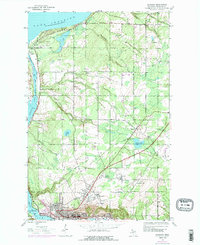
1946 Map of Hancock
USGS Topo · Published 1989About this map
Hancock stands as the industrial and social anchor of this Copper Country landscape, where the legacy of mining is etched into the terrain. The presence of the Franklin Mine and the nearby settlements of Lower Pewabic and Pewabic reflect the region’s intensive extraction history, while numerous burial grounds like Lakeside Cem and St Joseph Cem provide vital links for genealogical research. The landscape transitions from the dense urban grid of Hancock north toward the rugged shoreline of Lake Superior, passing through the wooded townships of Quincy and Osceola.
Find a feature on this map
33 named features on this map. Tap any name to fly to it.
Don’t see what you’re looking for? This feature index may not catch every label — zoom into the map to look around manually.
Map Details
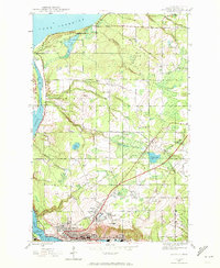
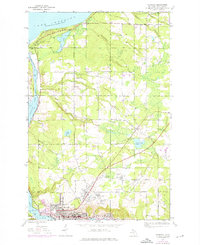
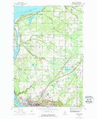
Editions of this 1946 Hancock Map
5 editions found
Other maps of this area

1915 · Houghton
USGS Topo · 1:62,500

1941 · Ahmeek
USGS Topo · 1:31,680

1946 · Hancock
USGS Topo · 1:24,000

1946 · Chassell
USGS Topo · 1:24,000

1946 · South Range
USGS Topo · 1:24,000

1946 · Muggun Creek
USGS Topo · 1:24,000

1946 · Ahmeek
USGS Topo · 1:24,000

1946 · Laurium
USGS Topo · 1:24,000

1947 · Ahmeek
USGS Topo · 1:24,000

1948 · South Range
USGS Topo · 1:24,000