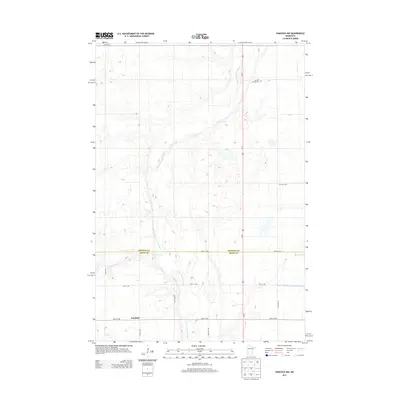
2013 Map of Hancock NW
USGS Topo · Published 2013About this map
Fairfield stands as a focal point in this 2013 landscape where the Stevens and Swift county line divides the prairie terrain. The region is defined by the meandering path of the Pomme de Terre River, which flows southward alongside significant water management features like Judicial Ditch Number Sixtythree and Dry Wood Cr. These waterways illustrate the long-standing agricultural engineering required to manage the glacial till and pothole lakes common to this part of Minnesota.
Find a feature on this map
16 named features on this map. Tap any name to fly to it.
Don’t see what you’re looking for? This feature index may not catch every label — zoom into the map to look around manually.
Map Details
Editions of this 2013 Hancock NW Map
This is the sole edition of this map. No revisions or reprints were ever made.
Other maps of this area

1910 · Chokio
USGS Topo · 1:62,500

1912 · Chokio
USGS Topo · 1:62,500

1912 · Morris
USGS Topo · 1:62,500

1953 · Milbank
USGS Topo · 1:250,000

1953 · Saint Cloud
USGS Topo · 1:250,000

1957 · Saint Cloud
USGS Topo · 1:250,000

1958 · Milbank
USGS Topo · 1:250,000

1958 · Saint Cloud
USGS Topo · 1:250,000

1968 · Dry Wood Lake
USGS Topo · 1:24,000

1968 · Lake Oliver
USGS Topo · 1:24,000