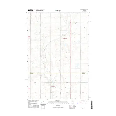
2016 Map of Hancock NW
USGS Topo · Published 2016About this map
The Pomme de Terre River winds through this agricultural landscape along the border of Stevens and Swift counties. This 2016 survey shows a region defined by its water management and early community landmarks, including the Judicial Ditch Number Sixtythree and Dry Wood Cr. Researchers of local history will find the locations of the Apostolic Christian Cem and Zion Cem, which remain as fixed points amidst the evolving township grids. The area reflects a classic prairie river system, with Burns Lake and various wetlands adjacent to the river’s path, illustrating the enduring relationship between the drainage of the land and its long-standing rural settlements.
Find a feature on this map
39 named features on this map. Tap any name to fly to it.
Don’t see what you’re looking for? This feature index may not catch every label — zoom into the map to look around manually.
Map Details
Editions of this 2016 Hancock NW Map
This is the sole edition of this map. No revisions or reprints were ever made.
Other maps of this area

1910 · Chokio
USGS Topo · 1:62,500

1912 · Chokio
USGS Topo · 1:62,500

1912 · Morris
USGS Topo · 1:62,500

1953 · Milbank
USGS Topo · 1:250,000

1953 · Saint Cloud
USGS Topo · 1:250,000

1957 · Saint Cloud
USGS Topo · 1:250,000

1958 · Milbank
USGS Topo · 1:250,000

1958 · Saint Cloud
USGS Topo · 1:250,000

1968 · Dry Wood Lake
USGS Topo · 1:24,000

1968 · Lake Oliver
USGS Topo · 1:24,000