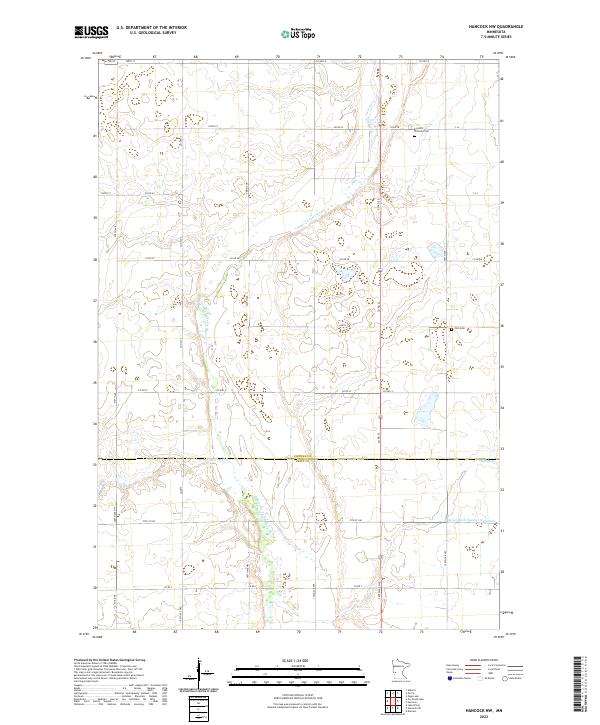
2022 Map of Hancock NW
USGS Topo · Published 2022About this map
The Pomme de Terre River meanders through the heart of this rural landscape, forming a natural corridor across the border of Stevens and Swift Counties. This agrarian region is defined by its extensive system of section roads and drainage projects, including the engineered Judicial Ditch Number Sixtythree. These water management features, alongside Dry Wood Cr, reflect the long-standing efforts to maintain productive farmland in the Upper Midwest.
Find a feature on this map
41 named features on this map. Tap any name to fly to it.
Don’t see what you’re looking for? This feature index may not catch every label — zoom into the map to look around manually.
Map Details
Editions of this 2022 Hancock NW Map
This is the sole edition of this map. No revisions or reprints were ever made.
Other maps of this area

1910 · Chokio
USGS Topo · 1:62,500

1912 · Chokio
USGS Topo · 1:62,500

1912 · Morris
USGS Topo · 1:62,500

1953 · Milbank
USGS Topo · 1:250,000

1953 · Saint Cloud
USGS Topo · 1:250,000

1957 · Saint Cloud
USGS Topo · 1:250,000

1958 · Milbank
USGS Topo · 1:250,000

1958 · Saint Cloud
USGS Topo · 1:250,000

1968 · Dry Wood Lake
USGS Topo · 1:24,000

1968 · Lake Oliver
USGS Topo · 1:24,000