
1964 Map of Hanging Rock
USGS Topo · Published 1965About this map
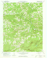
Hanging Rock and the high ridges of Sauratown Mountain dominate the southern landscape of this mid-1960s survey. This area of Stokes County is characterized by a dense concentration of family cemeteries and rural institutions, reflecting a deeply rooted community structure along the upper reaches of the Dan River. The terrain transitions from the steep escarpments of Moores Knob and Cooks Wall to the rolling agricultural lands around Gap and Meadows.
Find a feature on this map
89 named features on this map. Tap any name to fly to it.
Don’t see what you’re looking for? This feature index may not catch every label — zoom into the map to look around manually.
Map Details
Editions of this 1964 Hanging Rock Map
4 editions found
Other maps of this area

1926 · Critz
USGS Topo · 1:48,000

1928 · Stuart
USGS Topo · 1:48,000

1928 · Critz
USGS Topo · 1:62,500

1931 · Stuart
USGS Topo · 1:62,500

1953 · Winston-Salem
USGS Topo · 1:250,000

1955 · Winston-Salem
USGS Topo · 1:250,000

1962 · Winston-Salem
USGS Topo · 1:250,000

1964 · Pinnacle
USGS Topo · 1:24,000

1964 · King
USGS Topo · 1:24,000

1964 · Pilot Mountain
USGS Topo · 1:24,000