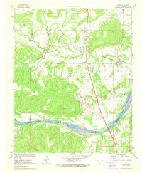
1971 Map of Hanna
USGS Topo · Published 1973About this map
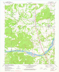
Hanna and Vernon serve as the primary focal points of this 1971 survey, situated within the transition from the rolling timberlands of Dustin to the lowlands of the Canadian River. The landscape is defined by the intersection of older infrastructure and modern development, most notably where the Indian Nation Toll Road cuts a straight path north-to-south, bypassing the winding path of the Old Railroad Grade. To the east, the rising waters of the Eufaula Reservoir mark a shift in the local geography, inundating former valley lands near the mouth of Scipio Creek. Genealogy researchers will find several local landmarks of interest, including Weogufkee Ch, Oak Hill Ch, and the Vernon Cem. The presence of the Waterworks and municipal Park at Hanna indicates the town's established role as a local center for this section of McIntosh County during the early 1970s.
Find a feature on this map
23 named features on this map. Tap any name to fly to it.
Don’t see what you’re looking for? This feature index may not catch every label — zoom into the map to look around manually.
Map Details
Editions of this 1971 Hanna Map
2 editions found
Other maps of this area

1900 · Canadian
USGS Topo · 1:125,000

1900 · Wewoka
USGS Topo · 1:125,000

1946 · Fort Smith
USGS Topo · 1:250,000

1954 · Oklahoma City
USGS Topo · 1:250,000

1957 · Oklahoma City
USGS Topo · 1:250,000

1962 · Raiford
USGS Topo · 1:24,000

1962 · Henryetta SW
USGS Topo · 1:24,000

1963 · Oklahoma City
USGS Topo · 1:250,000

1965 · Fort Smith
USGS Topo · 1:250,000

1967 · Fort Smith
USGS Topo · 1:250,000