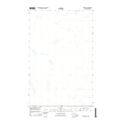
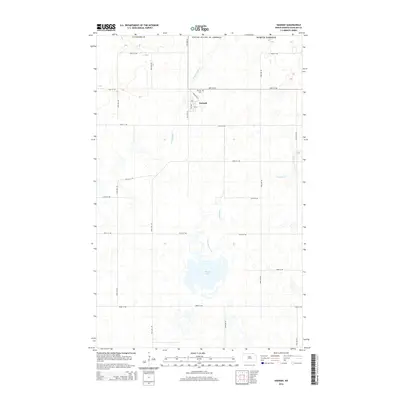
2014 Map of Hannah OE N
USGS Topo · Published 2014About this map
The international border with Canada defines the southern reach of this landscape along the edge of North Dakota and Manitoba. This prairie terrain is characterized by a high density of small lakes and seasonal potholes, creating a complex wetland network that drains into the local watercourses. Snowflake Cr meanders through the southeastern corner of the quadrangle, while Stony Cr flows in the northeast. This 2014 survey focuses on the natural hydrography and the physical boundary line, showing the remote character of the borderlands where the only prominent features are the numerous nameless ponds and the two primary creeks that define the drainage of this glaciated plain.
Find a feature on this map
3 named features on this map. Tap any name to fly to it.
Don’t see what you’re looking for? This feature index may not catch every label — zoom into the map to look around manually.
Map Details
Editions of this 2014 Hannah OE N Map
This is the sole edition of this map. No revisions or reprints were ever made.
Other maps of this area

1953 · Devils Lake
USGS Topo · 1:250,000

1956 · Devils Lake
USGS Topo · 1:250,000

1970 · Sarles NE
USGS Topo · 1:24,000

1970 · Wales
USGS Topo · 1:24,000

1970 · Hannah
USGS Topo · 1:24,000

1985 · Langdon
USGS Topo · 1:100,000
2011 · Wales
USGS Topo · 1:24,000
2011 · Sarles NE
USGS Topo · 1:24,000
2011 · Hannah
USGS Topo · 1:24,000
2014 · Hannah
USGS Topo · 1:24,000