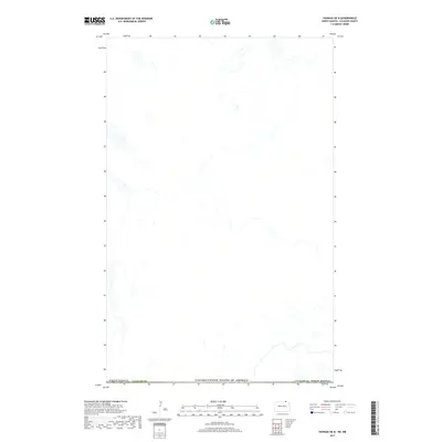
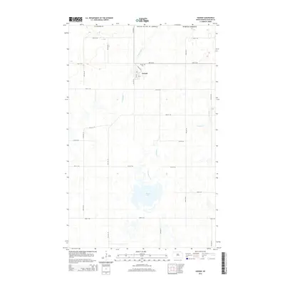
2017 Map of Hannah OE N
USGS Topo · Published 2017About this map
The Canada/United States of America border defines the northern edge of this landscape, representing a remote stretch of the international boundary in 2017. Located within Cavalier Co, this portion of North Dakota shows a high-plains geography shaped by agricultural land patterns and small glacial depressions. The map illustrates the sparse infrastructure and large-scale section lines typical of the Red River Valley hinterlands. While primarily a record of natural hydrography and boundary lines, the data reveals the organized spatial distribution of the American Midwest as it meets the Canadian prairie. It serves as a modern documentation of the borderlands, showing how surveying and geopolitical lines overlay the physical drainage patterns of the region.
Find a feature on this map
3 named features on this map. Tap any name to fly to it.
Don’t see what you’re looking for? This feature index may not catch every label — zoom into the map to look around manually.
Map Details
Editions of this 2017 Hannah OE N Map
This is the sole edition of this map. No revisions or reprints were ever made.
Other maps of this area

1953 · Devils Lake
USGS Topo · 1:250,000

1956 · Devils Lake
USGS Topo · 1:250,000

1970 · Sarles NE
USGS Topo · 1:24,000

1970 · Wales
USGS Topo · 1:24,000

1970 · Hannah
USGS Topo · 1:24,000

1985 · Langdon
USGS Topo · 1:100,000
2011 · Wales
USGS Topo · 1:24,000
2011 · Sarles NE
USGS Topo · 1:24,000
2011 · Hannah
USGS Topo · 1:24,000
2014 · Hannah
USGS Topo · 1:24,000