
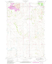
1968 Map of Hannover NE
USGS Topo · Published 1969About this map
Fort Clark Historic Site anchors the northeastern corner of this landscape along the Northern Pacific rail line, marking a critical point of frontier trade and settlement history. Situated at the boundary of Mercer Co and Oliver Co, the area transitions from the river bottomlands near Fort Clark to the upland terrain where Strip Mine operations and several Gravel Pits indicate the mid-century industrial activity of North Dakota's coal country. Family history is preserved at the Bagley Cem and St Pauls Cem, providing valuable points of reference for genealogists. The drainage of Square Butte Creek winds through the southern sections, while the small settlement of Alderin sits near the northern margin, illustrating the sparse but deliberate distribution of rural communities in the late 1960s.
Find a feature on this map
12 named features on this map. Tap any name to fly to it.
Don’t see what you’re looking for? This feature index may not catch every label — zoom into the map to look around manually.
Map Details
Editions of this 1968 Hannover NE Map
2 editions found
Other maps of this area

1948 · Stanton
USGS Topo · 1:62,500

1949 · Stanton
USGS Topo · 1:62,500

1949 · Washburn
USGS Topo · 1:62,500

1954 · McClusky
USGS Topo · 1:250,000

1958 · McClusky
USGS Topo · 1:250,000

1967 · Washburn SW
USGS Topo · 1:24,000

1967 · Stanton SE
USGS Topo · 1:24,000

1968 · Fort Clark
USGS Topo · 1:24,000

1968 · Stanton
USGS Topo · 1:24,000

1968 · Hannover NW
USGS Topo · 1:24,000