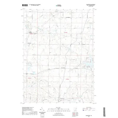
2019 Map of Hanoverton
USGS Topo · Published 2019About this map
Hanoverton and the surrounding townships of Columbiana County appear here in a landscape defined by headwater streams and significant wetlands. The drainage divide is evident in the divergence of waterways like Sandy Creek and the West Fork Little Beaver Creek, which flow through a mix of agricultural plots and conserved water bodies. Substantial reservoirs and natural marshes characterize the eastern portion of the sheet, most notably the large expanse of Guilford Lake and the ecologically distinct Watercress Marsh.
Find a feature on this map
105 named features on this map. Tap any name to fly to it.
Don’t see what you’re looking for? This feature index may not catch every label — zoom into the map to look around manually.
Map Details
Editions of this 2019 Hanoverton Map
This is the sole edition of this map. No revisions or reprints were ever made.
Other maps of this area

1905 · Salineville
USGS Topo · 1:62,500

1909 · Alliance
USGS Topo · 1:62,500

1909 · Lisbon
USGS Topo · 1:62,500

1910 · Carrollton
USGS Topo · 1:62,500

1912 · Carrollton
USGS Topo · 1:62,500

1951 · Canton
USGS Topo · 1:250,000

1952 · Alliance
USGS Topo · 1:24,000

1952 · Damascus
USGS Topo · 1:24,000
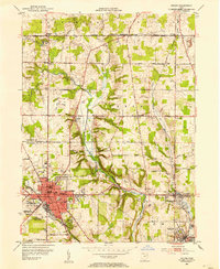
1952 · Salem
USGS Topo · 1:24,000

1953 · Canton
USGS Topo · 1:250,000