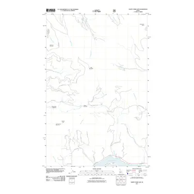
2011 Map of Happy Fork Gap
USGS Topo · Published 2011About this map
Lake Pend Oreille defines the southern edge of this Idaho mountain terrain, where residential and recreational pockets like Snug Hbr and The Willows meet the water's edge. The landscape is characterized by significant vertical relief, rising from the lake level toward prominent peaks such as Bald Mountain, Gisborne Mountain, and Johnny Long Mountain. A network of drainage systems including Smith Creek, Carr Creek, and Tarlac Creek carves through the high country, creating natural passages like Happy Fork Gap and Canyon Gap.
Find a feature on this map
40 named features on this map. Tap any name to fly to it.
Don’t see what you’re looking for? This feature index may not catch every label — zoom into the map to look around manually.
Map Details
Editions of this 2011 Happy Fork Gap Map
This is the sole edition of this map. No revisions or reprints were ever made.
Other maps of this area

1901 · Sandpoint
USGS Topo · 1:125,000

1911 · Priest Lake
USGS Topo · 1:250,000

1911 · Sandpoint
USGS Topo · 1:125,000

1913 · Priest Lake
USGS Topo · 1:250,000

1958 · Sandpoint
USGS Topo · 1:250,000

1963 · Sandpoint
USGS Topo · 1:250,000

1967 · Coolin
USGS Topo · 1:24,000

1967 · Prater Mtn
USGS Topo · 1:24,000
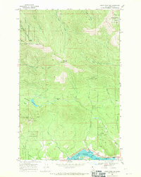
1968 · Happy Fork Gap
USGS Topo · 1:24,000
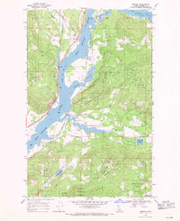
1968 · Morton
USGS Topo · 1:24,000