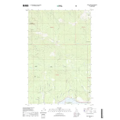
2020 Map of Happy Fork Gap
USGS Topo · Published 2020About this map
The settlement of Dover sits at the edge of Lake Pend Oreille, where residential lanes like Snug Harbor and Gypsy Bay Rd meet the waterfront. This 2020 survey illustrates the meeting point between the shoreline and the southern slopes of the Selkirk Mountains, transitioning from developed town life to the expansive Kaniksu National Forest. To the north, the terrain rises sharply toward high peaks, including Gisborne Mtn and Bald Mtn, with the northernmost corner of the map reaching into the recreation-focused Schweitzer Basin.
Find a feature on this map
65 named features on this map. Tap any name to fly to it.
Don’t see what you’re looking for? This feature index may not catch every label — zoom into the map to look around manually.
Map Details
Editions of this 2020 Happy Fork Gap Map
This is the sole edition of this map. No revisions or reprints were ever made.
Other maps of this area

1901 · Sandpoint
USGS Topo · 1:125,000

1911 · Priest Lake
USGS Topo · 1:250,000

1911 · Sandpoint
USGS Topo · 1:125,000

1913 · Priest Lake
USGS Topo · 1:250,000

1958 · Sandpoint
USGS Topo · 1:250,000

1963 · Sandpoint
USGS Topo · 1:250,000

1967 · Coolin
USGS Topo · 1:24,000

1967 · Prater Mtn
USGS Topo · 1:24,000
1968 · Happy Fork Gap
USGS Topo · 1:24,000
1968 · Morton
USGS Topo · 1:24,000