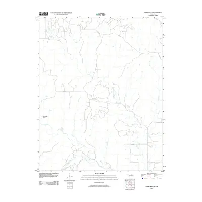
2009 Map of Happy Hollow
USGS Topo · Published 2009About this map
Hominy Creek and its complex network of tributaries define this landscape in Osage County, Oklahoma. The terrain is marked by significant topographical features such as Phinney Hill and several deeply cut drainages including Moreledge Gulch and Dollie Hollow. The southern portion of the quadrangle is notably intersected by Rainbow Creek and Hellroaring Creek, which feed into the larger Hominy system. A sparse but functional network of county roads, including Co RD 5245 and Co RD 5511, provides the primary access through these valley floors and ridgelines. The namesake Happy Hollow sits in the eastern reaches, surrounded by the headwaters of Little Hominy Creek, reflecting a rural Oklahoma landscape largely shaped by its hydrology and natural relief.
Find a feature on this map
24 named features on this map. Tap any name to fly to it.
Don’t see what you’re looking for? This feature index may not catch every label — zoom into the map to look around manually.
Map Details
Editions of this 2009 Happy Hollow Map
This is the sole edition of this map. No revisions or reprints were ever made.
Other maps of this area

1909 · Pawhuska
USGS Topo · 1:125,000

1910 · Pawhuska
USGS Topo · 1:125,000

1912 · Hominy
USGS Topo · 1:125,000

1915 · Hominy
USGS Topo · 1:125,000

1915 · Hominy
USGS Topo · 1:62,500

1929 · Skedee
USGS Topo · 1:62,500

1931 · Skedee
USGS Topo · 1:62,500

1932 · Fairfax
USGS Topo · 1:62,500

1955 · Enid
USGS Topo · 1:250,000

1958 · Enid
USGS Topo · 1:250,000