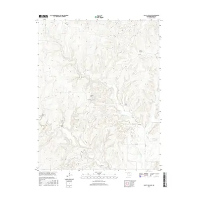
2016 Map of Happy Hollow
USGS Topo · Published 2016About this map
Happy Hollow and its surrounding drainage systems define this section of Osage County, where the elevation rises significantly toward Phinney Hill. The area is characterized by a dense network of intermittent streams and named waterways, including Little Hominy Cr, which winds through the central valley, and the more secluded Turkey Run. This landscape in north-central Oklahoma is defined by its deep incisions and natural drainages like Cedar Canyon and Moreledge Gulch, illustrating the erosional patterns common to the region's topography.
Find a feature on this map
26 named features on this map. Tap any name to fly to it.
Don’t see what you’re looking for? This feature index may not catch every label — zoom into the map to look around manually.
Map Details
Editions of this 2016 Happy Hollow Map
This is the sole edition of this map. No revisions or reprints were ever made.
Other maps of this area

1909 · Pawhuska
USGS Topo · 1:125,000

1910 · Pawhuska
USGS Topo · 1:125,000

1912 · Hominy
USGS Topo · 1:125,000

1915 · Hominy
USGS Topo · 1:125,000

1915 · Hominy
USGS Topo · 1:62,500

1929 · Skedee
USGS Topo · 1:62,500

1931 · Skedee
USGS Topo · 1:62,500

1932 · Fairfax
USGS Topo · 1:62,500

1955 · Enid
USGS Topo · 1:250,000

1958 · Enid
USGS Topo · 1:250,000