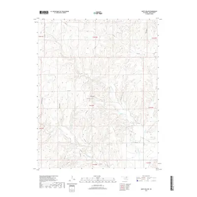
2018 Map of Happy Hollow
USGS Topo · Published 2018About this map
Little Hominy Cr and its many tributaries define this portion of Osage County, where the drainages of Turkey Run and Rainbow Cr carve deep into the landscape. The terrain is characterized by named hollows and gulches, including Dollie Hollow and Moreledge Gulch, suggesting a territory of significant relief and localized landmarks. The survey captures the area's intricate network of county roads, such as Co RD 5602 and Co RD 5305, which navigate between prominent elevations like Phinney Hill.
Find a feature on this map
34 named features on this map. Tap any name to fly to it.
Don’t see what you’re looking for? This feature index may not catch every label — zoom into the map to look around manually.
Map Details
Editions of this 2018 Happy Hollow Map
This is the sole edition of this map. No revisions or reprints were ever made.
Other maps of this area

1909 · Pawhuska
USGS Topo · 1:125,000

1910 · Pawhuska
USGS Topo · 1:125,000

1912 · Hominy
USGS Topo · 1:125,000

1915 · Hominy
USGS Topo · 1:125,000

1915 · Hominy
USGS Topo · 1:62,500

1929 · Skedee
USGS Topo · 1:62,500

1931 · Skedee
USGS Topo · 1:62,500

1932 · Fairfax
USGS Topo · 1:62,500

1955 · Enid
USGS Topo · 1:250,000

1958 · Enid
USGS Topo · 1:250,000