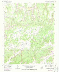
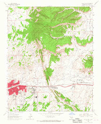
1963 Map of Hard Ground Flats
USGS Topo · Published 1986About this map
The Navajo Indian Reservation landscape is defined by its intricate drainage systems and high desert mesas in this mid-century survey. The terrain is deeply incised by complex watercourses including Coyote Canyon, Sitting Water Canyon, and Peach Spring Canyon, which converge toward the Puerco River in the south. Evidence of ancient habitation is preserved at a site marked simply as Ruins located near the head of Deadman Canyon, offering a specific point of interest for archaeological and local history researchers.
Find a feature on this map
21 named features on this map. Tap any name to fly to it.
Don’t see what you’re looking for? This feature index may not catch every label — zoom into the map to look around manually.
Map Details
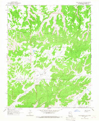
Editions of this 1963 Hard Ground Flats Map
2 editions found
Other maps of this area

1886 · Wingate
USGS Topo · 1:250,000

1892 · Wingate
USGS Topo · 1:250,000

1954 · Gallup
USGS Topo · 1:250,000

1958 · Gallup
USGS Topo · 1:250,000

1959 · Gallup
USGS Topo · 1:250,000

1962 · Gallup
USGS Topo · 1:250,000

1963 · Big Rock Hill
USGS Topo · 1:24,000
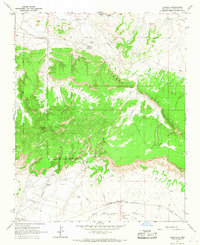
1963 · Pinedale
USGS Topo · 1:24,000
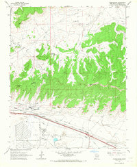
1963 · Church Rock
USGS Topo · 1:24,000
1963 · Gallup East
USGS Topo · 1:24,000
Featured Places
- Fort Defiance Agency
- Eastern Navajo Agency, NM
- Niʼ Hotłʼiz, Eastern Navajo Agency
- McKinley County, NM
- United States