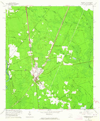
1962 Map of Hardeeville
USGS Topo · Published 1964About this map
Hardeeville serves as the central hub of this South Carolina Lowcountry landscape, situated at the intersection of the Atlantic Coast Line and Southern railroads. The town's layout includes a High Sch, Water Tank, and nearby Morgan settlement. To the west, the history of the riverfront is preserved at Purrysburg and Purrysburg Landing along the Savannah River, marking an area once critical for river-borne commerce and early colonial settlement.
Find a feature on this map
64 named features on this map. Tap any name to fly to it.
Don’t see what you’re looking for? This feature index may not catch every label — zoom into the map to look around manually.
Map Details
Editions of this 1962 Hardeeville Map
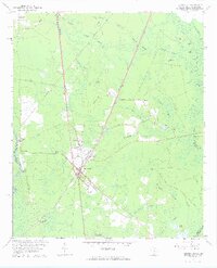
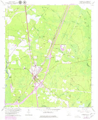
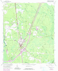
4 editions found
Other maps of this area

1920 · Hardeeville
USGS Topo · 1:62,500

1920 · Okatie
USGS Topo · 1:62,500

1920 · Bluffton
USGS Topo · 1:62,500

1942 · Savannah
USGS Topo · 1:62,500

1942 · Okatie
USGS Topo · 1:62,500

1943 · Hardeeville
USGS Topo · 1:62,500

1945 · Bluffton
USGS Topo · 1:62,500

1947 · Savannah
USGS Topo · 1:250,000

1948 · Savannah
USGS Topo · 1:250,000

1953 · Hardeeville
USGS Topo · 1:62,500