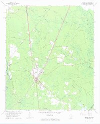
1962 Map of Hardeeville
USGS Topo · Published 1964About this map
Hardeeville and the surrounding Lowcountry wetlands are defined by a complex network of named swamps and early transportation corridors during the early 1960s. The settlement pattern follows the Atlantic Coast Line and Southern railroads, while the historic riverfront is preserved at Purrysburg Landing along the Savannah River. This area, once the site of a colonial Swiss Huguenot settlement at Purrysburg, shows a landscape dominated by timber and drainage management, evidenced by the numerous named water bodies like Great Swamp and Hog Crawl Swamp. Genealogists will find significant value in the distribution of family-named landmarks and resting places, such as the White Hardee Cem, Saucie Cem, and Pelote Cem, which are scattered throughout the pine forests and swamp margins. The transition from river-based transport to rail and road is visible in the presence of Purrysburg Station and established routes like Old Charleston Road.
Find a feature on this map
56 named features on this map. Tap any name to fly to it.
Don’t see what you’re looking for? This feature index may not catch every label — zoom into the map to look around manually.
Map Details
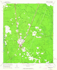
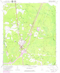
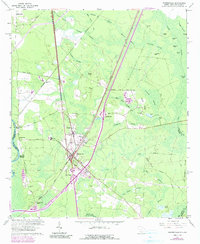
Editions of this 1962 Hardeeville Map
4 editions found
Other maps of this area

1920 · Hardeeville
USGS Topo · 1:62,500

1920 · Okatie
USGS Topo · 1:62,500

1920 · Bluffton
USGS Topo · 1:62,500

1942 · Savannah
USGS Topo · 1:62,500

1942 · Okatie
USGS Topo · 1:62,500

1943 · Hardeeville
USGS Topo · 1:62,500

1945 · Bluffton
USGS Topo · 1:62,500

1947 · Savannah
USGS Topo · 1:250,000

1948 · Savannah
USGS Topo · 1:250,000

1953 · Hardeeville
USGS Topo · 1:62,500