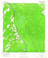
1962 Map of Hardeeville NW
USGS Topo · Published 1964About this map
The Savannah River defines the border between South Carolina and Georgia, winding through a complex landscape of oxbow lakes and wetlands. Distinctive river features such as Little Boykin Bar, Robinson Round, and Chair Maker Point illustrate the dynamic nature of the waterway. Small settlements and landings like Haddonville, Yorkley, and Ebenezer Landing are connected by local roads such as Old Augusta Road and Ferry Rd, tracing the historical transit patterns of the mid-20th century.
Find a feature on this map
75 named features on this map. Tap any name to fly to it.
Don’t see what you’re looking for? This feature index may not catch every label — zoom into the map to look around manually.
Map Details
Editions of this 1962 Hardeeville NW Map
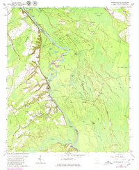
2 editions found
Other maps of this area

1919 · Pineland
USGS Topo · 1:62,500

1919 · Shirley
USGS Topo · 1:62,500

1919 · Egypt
USGS Topo · 1:62,500

1920 · Hardeeville
USGS Topo · 1:62,500

1939 · Egypt
USGS Topo · 1:62,500

1943 · Pineland
USGS Topo · 1:62,500

1943 · Hardeeville
USGS Topo · 1:62,500

1943 · Egypt
USGS Topo · 1:62,500

1943 · Shirley
USGS Topo · 1:62,500

1947 · Savannah
USGS Topo · 1:250,000