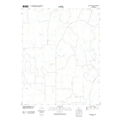
2010 Map of Hardtner NW
USGS Topo · Published 2010About this map
Lodi Cemetery serves as a quiet historical anchor in this pocket of Barber County, where the landscape is defined by the winding paths of several watercourses. The drainage of Little Mule Creek dominates the southern reaches, while the northern terrain is carved by West Cedar Creek and East Cedar Creek. The presence of roads with descriptive names like Gyp Hill Rd hints at the underlying geology of the Red Hills region, noted for its gypsum deposits and distinct earthen hues. The network of local routes, including the Hardtner Shortcut and Tamarisk Rd, illustrates the rural infrastructure connecting disparate homesteads and ranching lands. This survey captures a snapshot of the plains before further modern development, preserving the exact locations of ephemeral features like Dry Creek and Brush Creek.
Find a feature on this map
14 named features on this map. Tap any name to fly to it.
Don’t see what you’re looking for? This feature index may not catch every label — zoom into the map to look around manually.
Map Details
Editions of this 2010 Hardtner NW Map
This is the sole edition of this map. No revisions or reprints were ever made.
Other maps of this area

1891 · Medicine Lodge
USGS Topo · 1:125,000

1893 · Medicine Lodge
USGS Topo · 1:125,000

1955 · Pratt
USGS Topo · 1:250,000

1959 · Pratt
USGS Topo · 1:250,000

1973 · Hardtner NW
USGS Topo · 1:24,000
1973 · Pump Creek
USGS Topo · 1:24,000
1973 · Lake City
USGS Topo · 1:24,000
1973 · Gerlane
USGS Topo · 1:24,000
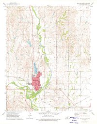
1973 · Medicine Lodge
USGS Topo · 1:24,000
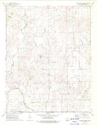
1973 · Hackberry Creek
USGS Topo · 1:24,000