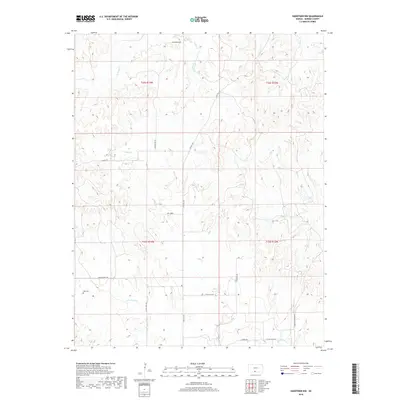
2018 Map of Hardtner NW
USGS Topo · Published 2018About this map
Lodi Cem serves as a quiet landmark in the southwestern corner of this Barber County landscape, where the prairie is dissected by a network of seasonal watercourses. The drainage patterns of W Cedar Cr, E Cedar Cr, and Walnut Cr reveal the intricate topography of the region, defined by the erosion of the red beds typical of south-central Kansas. A sparse but functional road network, including Gyp Hill Rd and Flower Pot Rd, connects the section lines of Township 32 and 33 South. The presence of the Hardtner Shortcut and Union Chapel Rd suggests the historical pathways used by local residents to navigate between remote farmsteads and the larger settlements just beyond the quadrangle's borders. This modern survey from the U.S. Geological Survey details a rural environment where land use remains closely tied to the natural flow of streams like Little Mule Cr.
Find a feature on this map
22 named features on this map. Tap any name to fly to it.
Don’t see what you’re looking for? This feature index may not catch every label — zoom into the map to look around manually.
Map Details
Editions of this 2018 Hardtner NW Map
This is the sole edition of this map. No revisions or reprints were ever made.
Other maps of this area

1891 · Medicine Lodge
USGS Topo · 1:125,000

1893 · Medicine Lodge
USGS Topo · 1:125,000

1955 · Pratt
USGS Topo · 1:250,000

1959 · Pratt
USGS Topo · 1:250,000

1973 · Hardtner NW
USGS Topo · 1:24,000
1973 · Pump Creek
USGS Topo · 1:24,000
1973 · Lake City
USGS Topo · 1:24,000
1973 · Gerlane
USGS Topo · 1:24,000
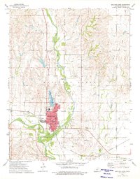
1973 · Medicine Lodge
USGS Topo · 1:24,000
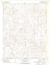
1973 · Hackberry Creek
USGS Topo · 1:24,000