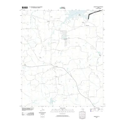
2010 Map of Harleton
USGS Topo · Published 2010About this map
Harleton sits at the center of this Harrison County landscape, serving as a hub for a network of country roads like FM 450 and FM 2208. The northern reaches of the area are dominated by the waters of Lake O' the Pines, held back by the Ferrells Bridge Dam. This shoreline is dotted with recreation spots such as the Brushy Creek Campground, while the interior landscape reflects a balance of local industry and quiet community life. The presence of the Whelan Gas Field highlights the region's energy resources, contrasting with the many family and community burial grounds that define the local genealogy, including Eagle Creek Cemetery and Piney Cemetery. Further south, the terrain is defined by the winding course of the Little Cypress Bayou and its many tributaries like Moccasin Creek, illustrating the natural drainage patterns that have shaped land use and settlement since the earliest residents arrived in communities like Jackson and Macedonia.
Find a feature on this map
60 named features on this map. Tap any name to fly to it.
Don’t see what you’re looking for? This feature index may not catch every label — zoom into the map to look around manually.
Map Details
Editions of this 2010 Harleton Map
This is the sole edition of this map. No revisions or reprints were ever made.
Other maps of this area

1956 · Tyler
USGS Topo · 1:250,000

1961 · Hallsville
USGS Topo · 1:24,000

1961 · Lassater
USGS Topo · 1:24,000

1961 · Harleton
USGS Topo · 1:24,000

1962 · Kellyville
USGS Topo · 1:24,000

1962 · Marshall NW
USGS Topo · 1:24,000

1962 · Marshall West
USGS Topo · 1:24,000

1962 · Ashland
USGS Topo · 1:24,000

1962 · Longview Heights
USGS Topo · 1:24,000

1962 · Ore City
USGS Topo · 1:24,000