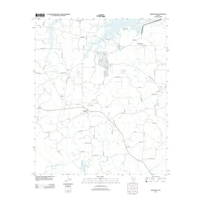
2013 Map of Harleton
USGS Topo · Published 2013About this map
Harleton and the surrounding Piney Woods of Harrison and Marion Counties are documented in this 2013 survey, reflecting a landscape defined by timber, energy, and water. The northern edge is dominated by the sprawling reaches of Lake O' the Pines, where the Brushy Creek Campground serves as a focal point for recreation. Further south, the community of Jackson and the residential area of Lake Deerwood illustrate the local pattern of settlement near these primary water bodies.
Find a feature on this map
88 named features on this map. Tap any name to fly to it.
Don’t see what you’re looking for? This feature index may not catch every label — zoom into the map to look around manually.
Map Details
Editions of this 2013 Harleton Map
This is the sole edition of this map. No revisions or reprints were ever made.
Other maps of this area

1956 · Tyler
USGS Topo · 1:250,000

1961 · Hallsville
USGS Topo · 1:24,000

1961 · Lassater
USGS Topo · 1:24,000

1961 · Harleton
USGS Topo · 1:24,000

1962 · Kellyville
USGS Topo · 1:24,000

1962 · Marshall NW
USGS Topo · 1:24,000

1962 · Marshall West
USGS Topo · 1:24,000

1962 · Ashland
USGS Topo · 1:24,000

1962 · Longview Heights
USGS Topo · 1:24,000

1962 · Ore City
USGS Topo · 1:24,000