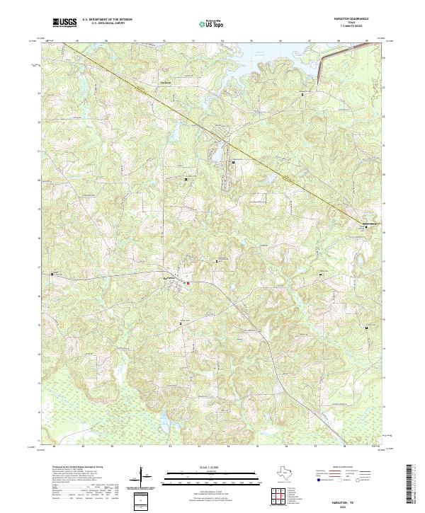
2022 Map of Harleton
USGS Topo · Published 2022About this map
Harleton serves as the primary community in this corner of Northeast Texas, situated at the junction of several Farm to Market roads. The landscape is characterized by a dense network of watercourses, with Little Cypress Bayou and its numerous tributaries like Lick Cr and Moccasin Cr defining the southern reaches. This modern survey reflects the enduring rural character of Harrison County, where family names are preserved through a significant number of burial grounds, including Eagle Creek Cem and Harleton Cornerstone Cem. The northern border of the county is clearly demarcated, leading toward the waters of Lake O' the Pines. Local history is embedded in the road network, with names like Gus Craver Rd and Oscar Ragon Rd suggesting long-standing family landholdings. To the east, Hope Springs Lake and Hope Springs Cem mark another localized hub of settlement near the community of Baker.
Find a feature on this map
83 named features on this map. Tap any name to fly to it.
Don’t see what you’re looking for? This feature index may not catch every label — zoom into the map to look around manually.
Map Details
Editions of this 2022 Harleton Map
This is the sole edition of this map. No revisions or reprints were ever made.
Other maps of this area

1956 · Tyler
USGS Topo · 1:250,000

1961 · Hallsville
USGS Topo · 1:24,000

1961 · Lassater
USGS Topo · 1:24,000

1961 · Harleton
USGS Topo · 1:24,000

1962 · Kellyville
USGS Topo · 1:24,000

1962 · Marshall NW
USGS Topo · 1:24,000

1962 · Marshall West
USGS Topo · 1:24,000

1962 · Ashland
USGS Topo · 1:24,000

1962 · Longview Heights
USGS Topo · 1:24,000

1962 · Ore City
USGS Topo · 1:24,000