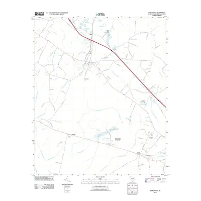
2011 Map of Harleyville
USGS Topo · Published 2011About this map
Harleyville and the surrounding Dorchester County countryside appear as a landscape shaped by both agriculture and industrial proximity in this 2011 survey. The settlement of Harleyville serves as a central hub, featuring the Harleyville Post Office and several local burial grounds including Mount Zion Cemetery and Harleyville Cemetery. To the southeast, the village of Dorchester maintains its own distinct identity with the Dorchester Post Office and Dorchester Cemetery nearby.
Find a feature on this map
93 named features on this map. Tap any name to fly to it.
Don’t see what you’re looking for? This feature index may not catch every label — zoom into the map to look around manually.
Map Details
Editions of this 2011 Harleyville Map
This is the sole edition of this map. No revisions or reprints were ever made.
Other maps of this area

1919 · Ridgeville
USGS Topo · 1:48,000

1920 · Eutawville
USGS Topo · 1:48,000

1920 · Bowman
USGS Topo · 1:48,000

1920 · Ridgeville
USGS Topo · 1:62,500

1920 · St. George
USGS Topo · 1:48,000

1921 · Bowman
USGS Topo · 1:62,500

1921 · St. George
USGS Topo · 1:62,500

1921 · Eutawville
USGS Topo · 1:62,500

1943 · Bowman
USGS Topo · 1:62,500

1943 · Orangeburg
USGS Topo · 1:125,000