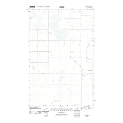
2011 Map of Harlow
USGS Topo · Published 2011About this map
Harlow sits at the center of this agricultural landscape in Benson County, anchored by a strict grid of section roads like 52nd St NE and 51st St NE. The prairie terrain is defined by a dense network of seasonal wetlands and depressions, with larger water bodies like Mud Lake and Twin Lakes providing prominent landmarks for those navigating the region. To the east, the elevation shifts at The Buttes, rising above the surrounding fields. Local history is centered at Our Saviors Cemetery, which serves as a primary point of interest for genealogists tracing family roots in this rural community. The map illustrates a modern North Dakota settlement pattern where small towns and burial grounds remain the focal points of an expansive, productive landscape.
Find a feature on this map
11 named features on this map. Tap any name to fly to it.
Don’t see what you’re looking for? This feature index may not catch every label — zoom into the map to look around manually.
Map Details
Editions of this 2011 Harlow Map
This is the sole edition of this map. No revisions or reprints were ever made.
Other maps of this area

1953 · Devils Lake
USGS Topo · 1:250,000

1956 · Devils Lake
USGS Topo · 1:250,000

1957 · Comstock
USGS Topo · 1:24,000
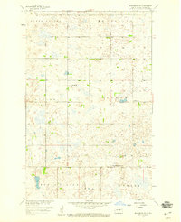
1958 · Brinsmade SW
USGS Topo · 1:24,000

1958 · Baker
USGS Topo · 1:24,000

1958 · Harlow
USGS Topo · 1:24,000
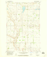
1958 · Harlow SE
USGS Topo · 1:24,000
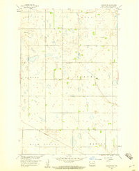
1958 · Harlow SW
USGS Topo · 1:24,000

1971 · Knox
USGS Topo · 1:24,000

1971 · York
USGS Topo · 1:24,000