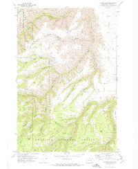
1971 Map of Harlow Ridge
USGS Topo · Published 1974About this map
Umatilla National Forest encompasses the vast majority of this 1971 terrain, defined by a complex network of ridges and canyons. The landscape is dominated by the massive Smoothing Iron Ridge and Harlow Ridge, which divide deep drainages like Cook Canyon and Horseback Canyon. Water sources are critical landmarks in this environment, with numerous named points such as Warner Springs, Sheriff Spring, and Vogan Spring scattered across the elevations.
Find a feature on this map
50 named features on this map. Tap any name to fly to it.
Don’t see what you’re looking for? This feature index may not catch every label — zoom into the map to look around manually.
Map Details
Editions of this 1971 Harlow Ridge Map
2 editions found
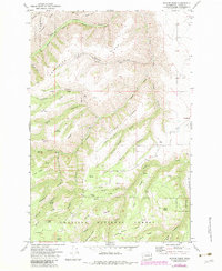
Other maps of this area

1943 · Peola
USGS Topo · 1:62,500

1943 · Saddle Butte
USGS Topo · 1:62,500

1944 · Anatone
USGS Topo · 1:62,500

1945 · Clarkston
USGS Topo · 1:62,500

1946 · Saddle Butte
USGS Topo · 1:62,500

1946 · Peola
USGS Topo · 1:62,500

1946 · Anatone
USGS Topo · 1:62,500

1948 · Clarkston
USGS Topo · 1:62,500

1955 · Pullman
USGS Topo · 1:250,000

1958 · Pullman
USGS Topo · 1:250,000