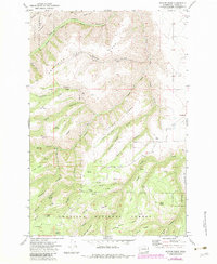
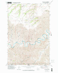
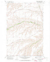
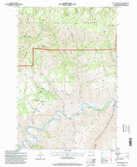
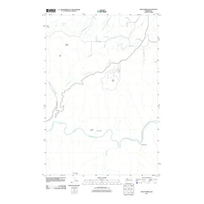
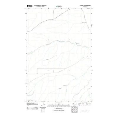
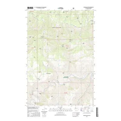
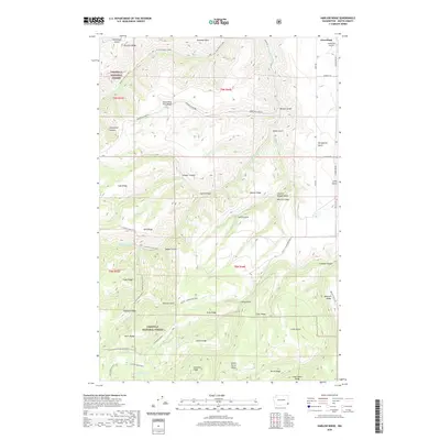
1971 Map of Harlow Ridge
USGS Topo · Published 1983About this map
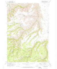
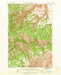
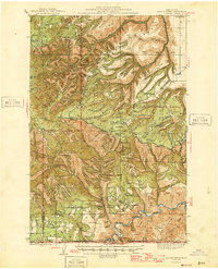
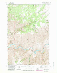
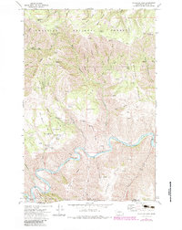
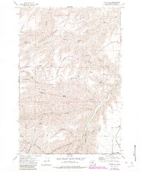
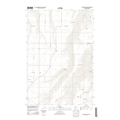
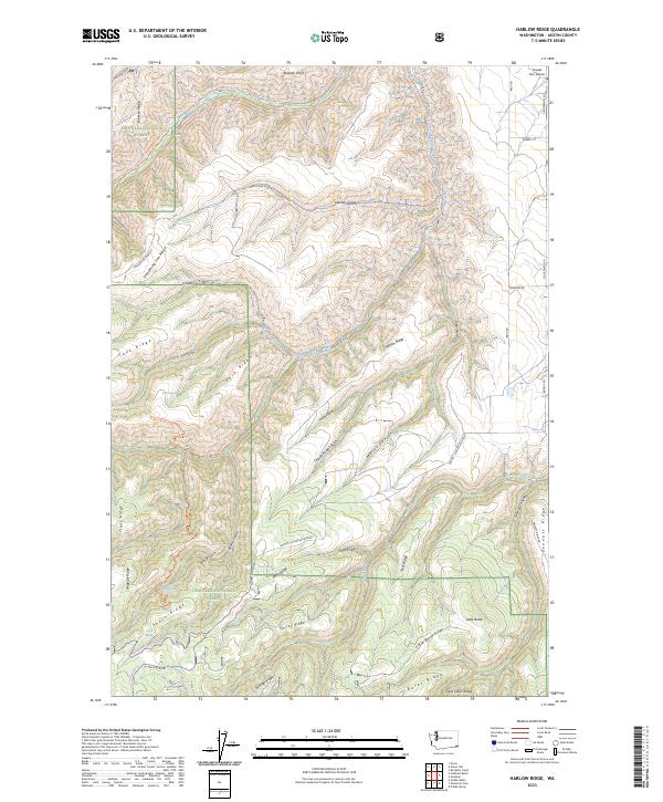
Umatilla National Forest encompasses the high country of Asotin County, defined by a complex network of branching ridges and deep drainages. The landscape is structured by prominent landforms such as Smoothing Iron Ridge and Harlow Ridge, which separate the various canyons and gulches feeding into the local watershed. Historically, the area shows signs of human activity in its backcountry, marked by the presence of Ruins and several remote springs, including Sheriff Spring, Vogan Spring, and Arnold Spring. The drainage pattern is led by the North Fork Asotin Creek and South Fork Asotin Creek, which cut through the northern portion of the quadrangle. Other notable features include the Asotin Creek Trail and isolated markers like Lost Cabin Ridge, suggesting the legacy of early forest management and homesteading efforts in this part of Washington.
Find a feature on this map
49 named features on this map. Tap any name to fly to it.
Don’t see what you’re looking for? This feature index may not catch every label — zoom into the map to look around manually.
Map Details
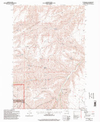
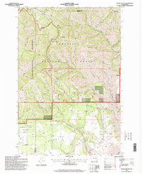
Editions of this 1971 Harlow Ridge Map
2 editions found
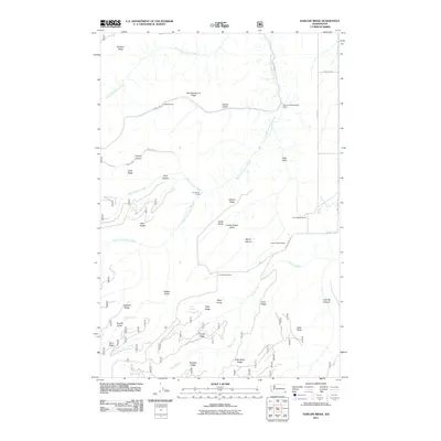
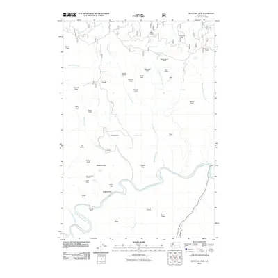
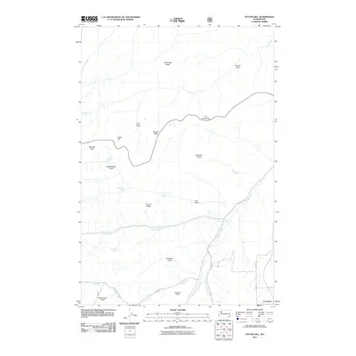
Historical Maps of Asotin County Through Time
54 maps found
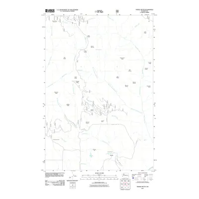
1943 Saddle Butte
Asotin County, WA
1946 Saddle Butte
Asotin County, WA
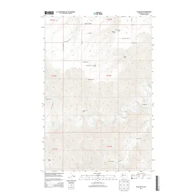
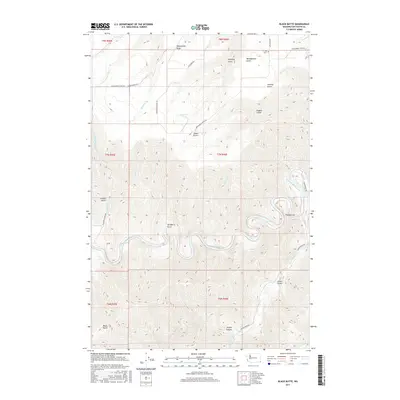
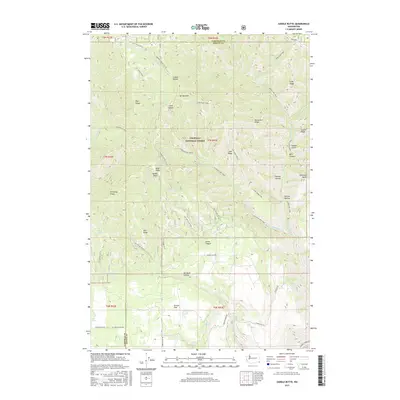
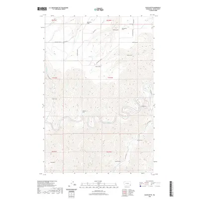
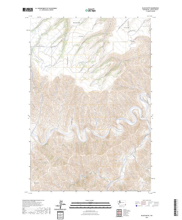
1971 Black Butte
Asotin County, WA
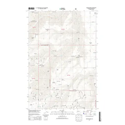
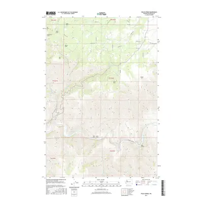
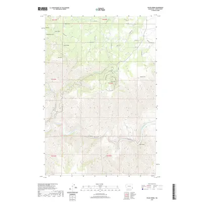
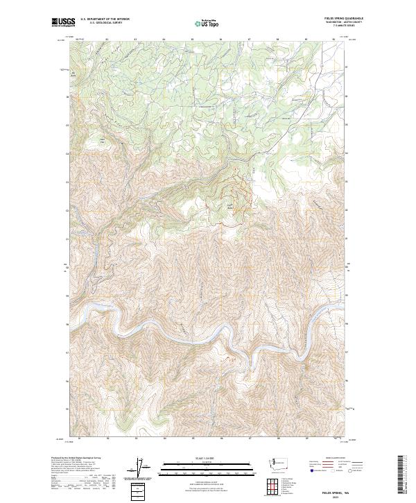
1971 Fields Spring
Asotin County, WA
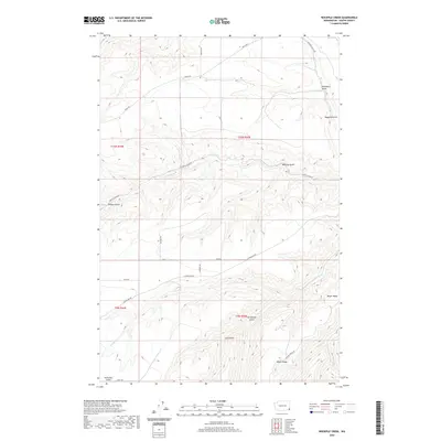
1971 Harlow Ridge
Asotin County, WA
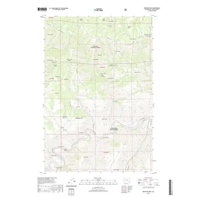
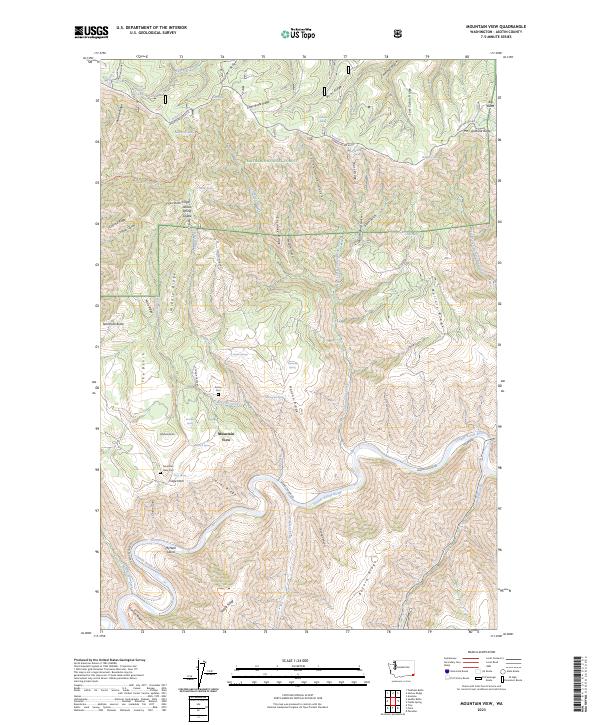
1971 Mountain View
Asotin County, WA
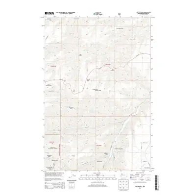
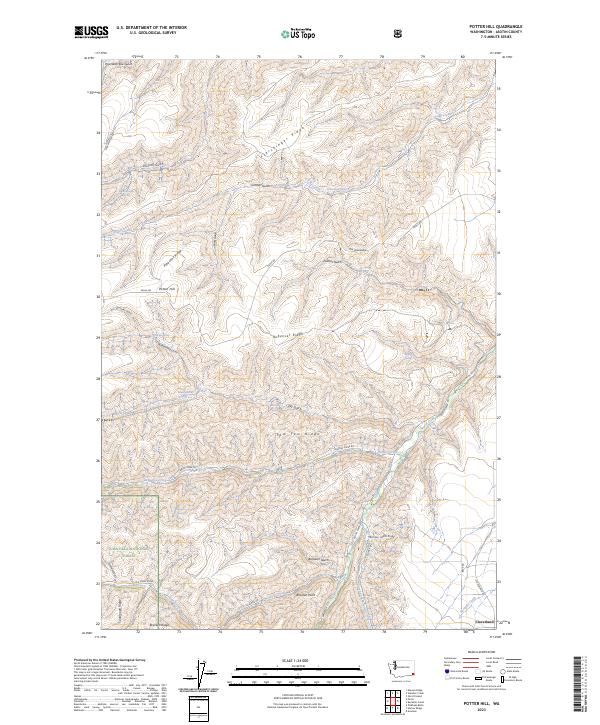
1971 Potter Hill
Asotin County, WA
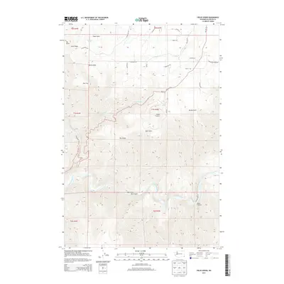
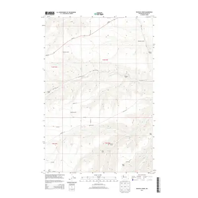
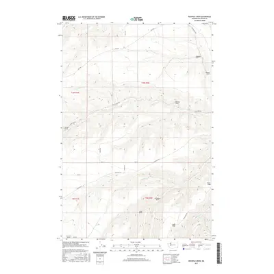
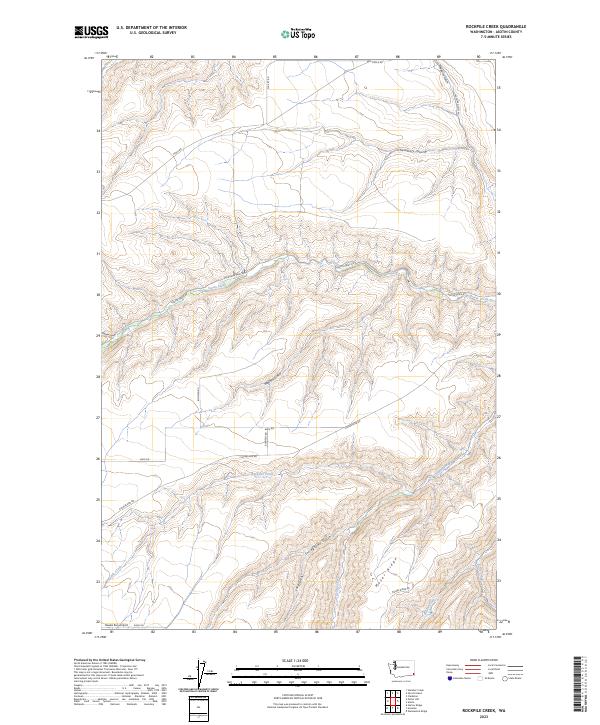
1971 Rockpile Creek
Asotin County, WA
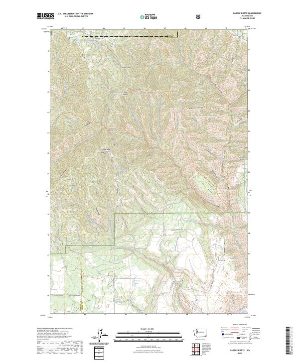
1971 Saddle Butte
Asotin County, WA
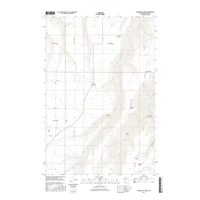
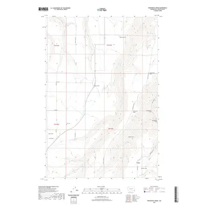
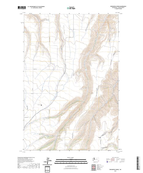
1971 Weissenfels Ridge
Asotin County, WA
1995 Fields Spring
Asotin County, WA
1995 Mountain View
Asotin County, WA
1995 Potter Hill
Asotin County, WA
1995 Saddle Butte
Asotin County, WA
2011 Black Butte
Asotin County, WA
2011 Fields Spring
Asotin County, WA
2011 Harlow Ridge
Asotin County, WA
2011 Mountain View
Asotin County, WA
2011 Potter Hill
Asotin County, WA
2011 Rockpile Creek
Asotin County, WA
2011 Saddle Butte
Asotin County, WA
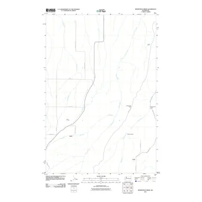
2011 Weissenfels Ridge
Asotin County, WA
2013 Fields Spring
Asotin County, WA

2013 Mountain View
Asotin County, WA
2013 Potter Hill
Asotin County, WA
2013 Rockpile Creek
Asotin County, WA

2013 Saddle Butte
Asotin County, WA
2014 Black Butte
Asotin County, WA
2014 Harlow Ridge
Asotin County, WA
2014 Weissenfels Ridge
Asotin County, WA
2017 Black Butte
Asotin County, WA
2017 Fields Spring
Asotin County, WA
2017 Harlow Ridge
Asotin County, WA
2017 Mountain View
Asotin County, WA

2017 Potter Hill
Asotin County, WA
2017 Rockpile Creek
Asotin County, WA
2017 Saddle Butte
Asotin County, WA
2017 Weissenfels Ridge
Asotin County, WA
2020 Black Butte
Asotin County, WA
2020 Fields Spring
Asotin County, WA
2020 Harlow Ridge
Asotin County, WA
2020 Mountain View
Asotin County, WA

2020 Potter Hill
Asotin County, WA
2020 Rockpile Creek
Asotin County, WA

2020 Saddle Butte
Asotin County, WA
2020 Weissenfels Ridge
Asotin County, WA
2023 Black Butte
Asotin County, WA
2023 Fields Spring
Asotin County, WA
2023 Harlow Ridge
Asotin County, WA
2023 Mountain View
Asotin County, WA
2023 Potter Hill
Asotin County, WA
2023 Rockpile Creek
Asotin County, WA
2023 Saddle Butte
Asotin County, WA
2023 Weissenfels Ridge
Asotin County, WA