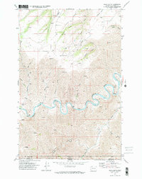
1971 Map of Black Butte
USGS Topo · Published 1974About this map
The Grande Ronde River carves a dramatic, winding path through the borderlands of Washington and Oregon, defining the physical and historical character of this 1970s landscape. This survey reveals a deeply incised terrain where the river negotiates tight bends like The Narrows, joined by tributaries such as Joseph Creek and Canyon Creek. The topography is dominated by steep-walled canyons and high points like Black Butte, with named drainage features such as Lathrop Gulch and Couse Gulch cutting into the surrounding plateaus.
Find a feature on this map
30 named features on this map. Tap any name to fly to it.
Don’t see what you’re looking for? This feature index may not catch every label — zoom into the map to look around manually.
Map Details
Editions of this 1971 Black Butte Map
2 editions found
Other maps of this area

1944 · Anatone
USGS Topo · 1:62,500

1946 · Limekiln Rapids
USGS Topo · 1:62,500

1946 · Anatone
USGS Topo · 1:62,500

1955 · Pullman
USGS Topo · 1:250,000

1955 · Grangeville
USGS Topo · 1:250,000

1958 · Pullman
USGS Topo · 1:250,000

1959 · Grangeville
USGS Topo · 1:250,000

1963 · Jim Creek Butte
USGS Topo · 1:24,000
1967 · Paradise
USGS Topo · 1:24,000
1967 · Teepee Butte
USGS Topo · 1:24,000